

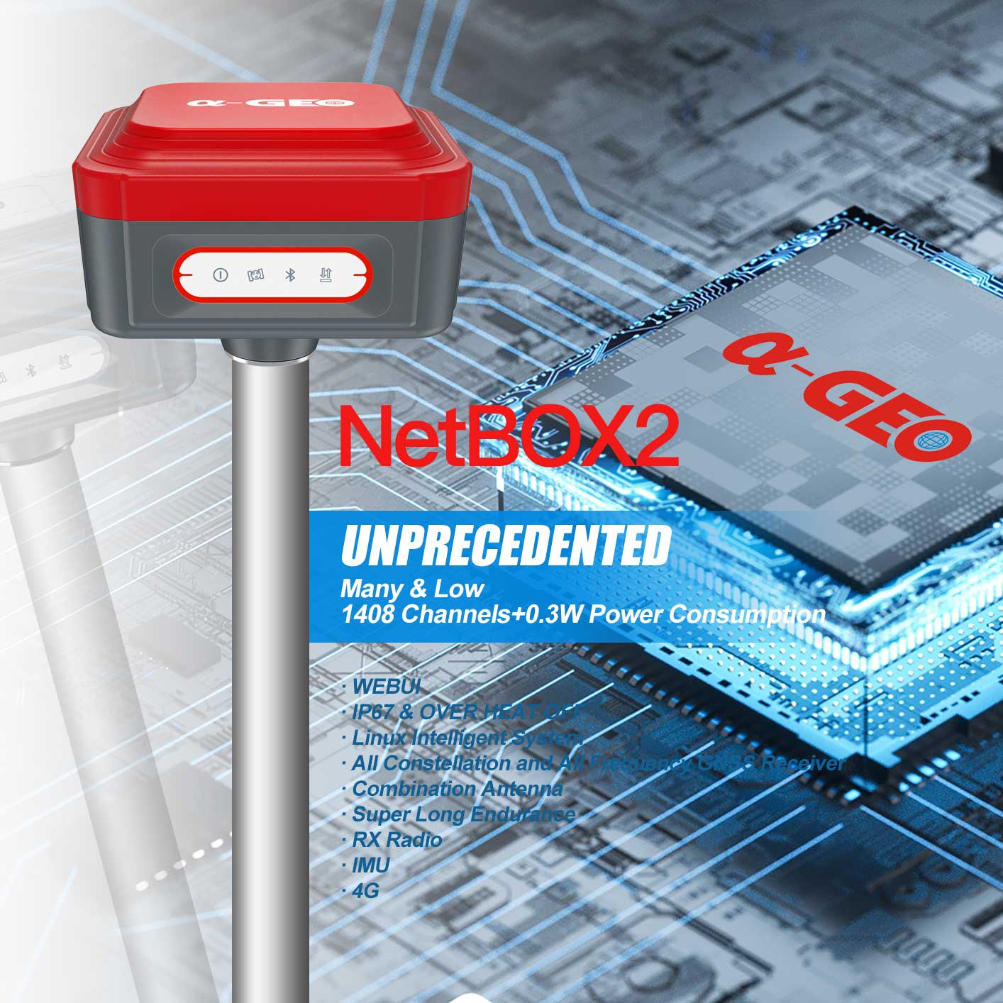
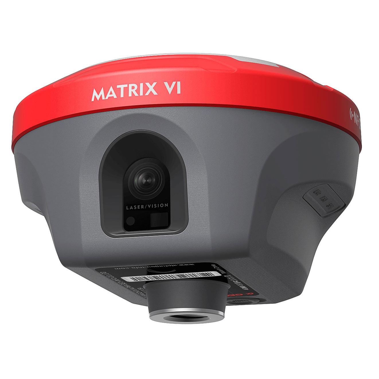
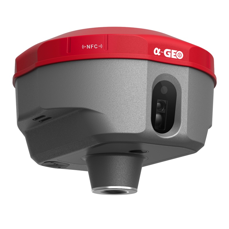
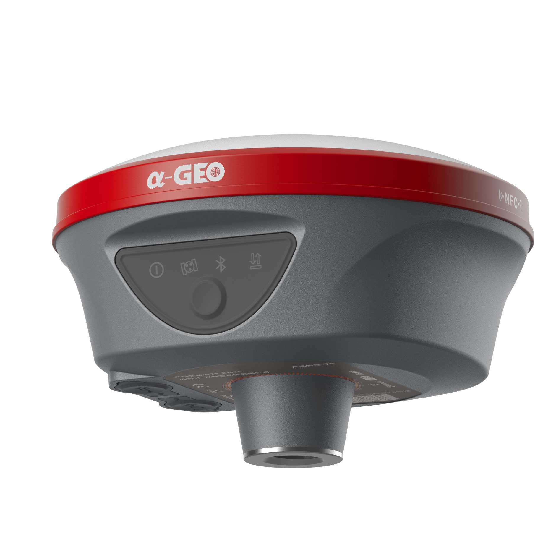
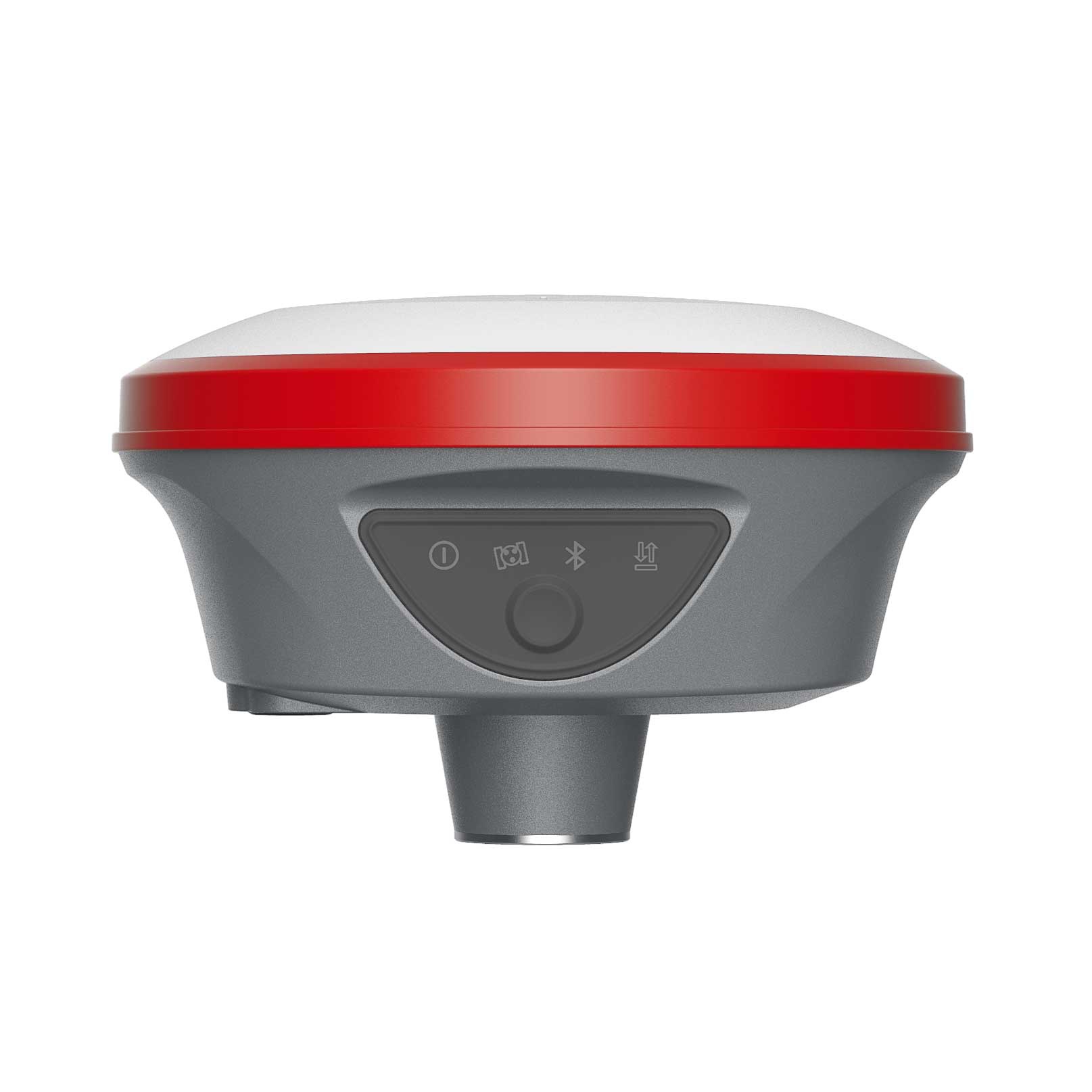
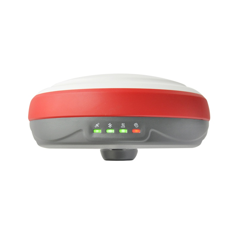
NetBOX2 is a brand new GNSS device with 1408 channels. It is small, but it is equipped with all required connectivity modules.
Features


Specifications
| Performance specification | Satellite signals tracked simultaneously | GPS: L1C/A, L1C, L2P(Y), L2C, L5 |
| GLONASS: L1, L2, L3 | ||
| BEIDOU: B1l, B2l, B3l, B1C, B2a, B2b | ||
| GALILEO: E1, E5a,E5b, E6 | ||
| QZSS: L1, L2, L5, L6 | ||
| SBAS: L1, L5 | ||
| IRNSS: L5 | ||
| Channels | 1408 |
|
| Cold start | <60 s | |
| Hot start | <15 s | |
| Positioning output rate | 1Hz–50Hz | |
| Signal Reacquisition | <1s | |
| RTK Initialization time | <5s | |
| Initialization Reliability | >99.99% | |
| Time accuracy | 20 ns | |
| Positioning1 | Static GNSS surveying | Horizontal: ±(2.5mm + 0.5ppm) |
| Vertical: ±(5mm + 0.5ppm) | ||
| RTK Surveying | Horizontal: ±(8mm + 1.0ppm) | |
| Vertical: ±(15mm + 1.0ppm) | ||
| PHYSYCAL | Material | Magnesium alloy |
| Dimensions | 100×100×73mm | |
| weight | 0.55kg | |
| Operating temperature | -40°C to + 75°C | |
| Storage temperature | -55°C to + 85°C | |
| Protection IP | IP67 dust proof, protected from 30min immersion to depth of 1m | |
| Shock | IK08,Survive 2 m drop onto the concrete | |
| Vibration | MIL-STD-810G | |
| Humidity | 100%, condensing | |
| IMU | IMU | Supported,4D IMU initialization in 3 seconds |
| IMU update rate | 400Hz | |
| IMU accuracy | <2.5cm within 30° | |
| IMU tilt compensation | 0-60° | |
| ELECTRYCAL | Power: 9~24 V DC external power | |
| Support USB Type-C fast charging | ||
| Internal 6800mAh lithium-ion battery | ||
| Battery Life | Rover Mode: 14 hours | |
| Static Mode: 20 hours | ||
| Communication & Data Storage |
I/O interface | USB TypeC (support charging, data download); SMA radio antenna interface |
| WEBUI | Support WEBUI configuration | |
| Cellular | Controller 4G,Bulit-in LTE | |
| Internal radio | RX internal module (Tx/Rx optional) | |
| Radio frenquency | 410-470 MHZ | |
| Radio Communication protocol | Transparent transmission /TT450S | |
| 802.11 b/g standard, access point & client mode, supports access to hotspot for correction transmission | ||
| Fully integrated Bluetooth V4.0, range ≤ 50m | ||
| WIFI | 802.11 b/g standard, access point & client mode, supports access to hotspot for correction transmission | |
| Bluetooth | Fully integrated Bluetooth V4.0, range ≤ 50m | |
| Data format | Differential data | RTCM2.X、RTCM3.X |
| GPS output data format | NMEA 0183s RJK, Binary code | |
| Static data format | RINEX | |
| Storage | 8GB internal memory, supports cyclic storage; with ability to collect over one year raw observation based on 5 seconds interval | |
| System integration | OS system | Intelligent LINUX operating system |
| Relay station | CORS relay, Radio relay | |
| Supported controllers | All android devices with supported software | |
| Design | Key | Double button |
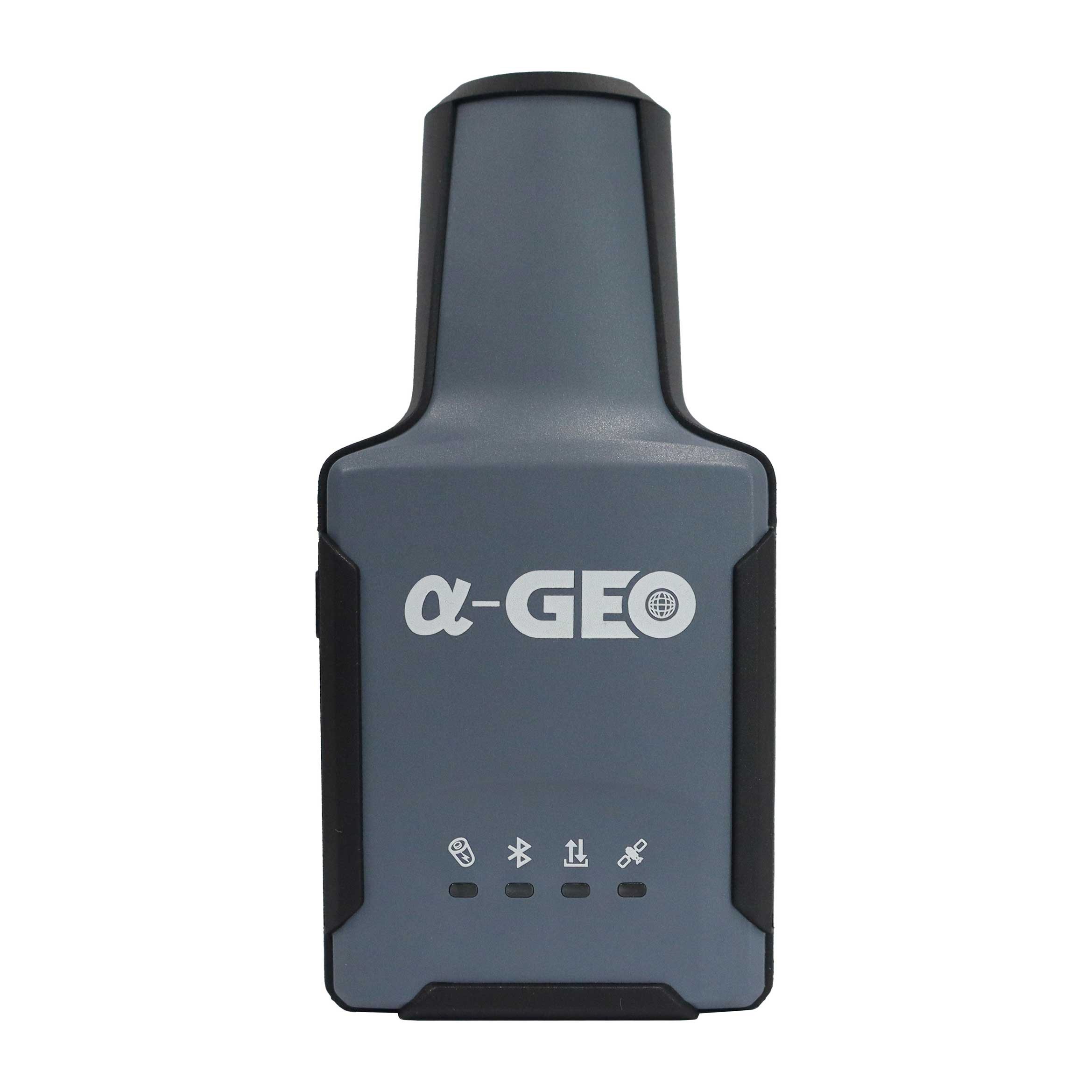
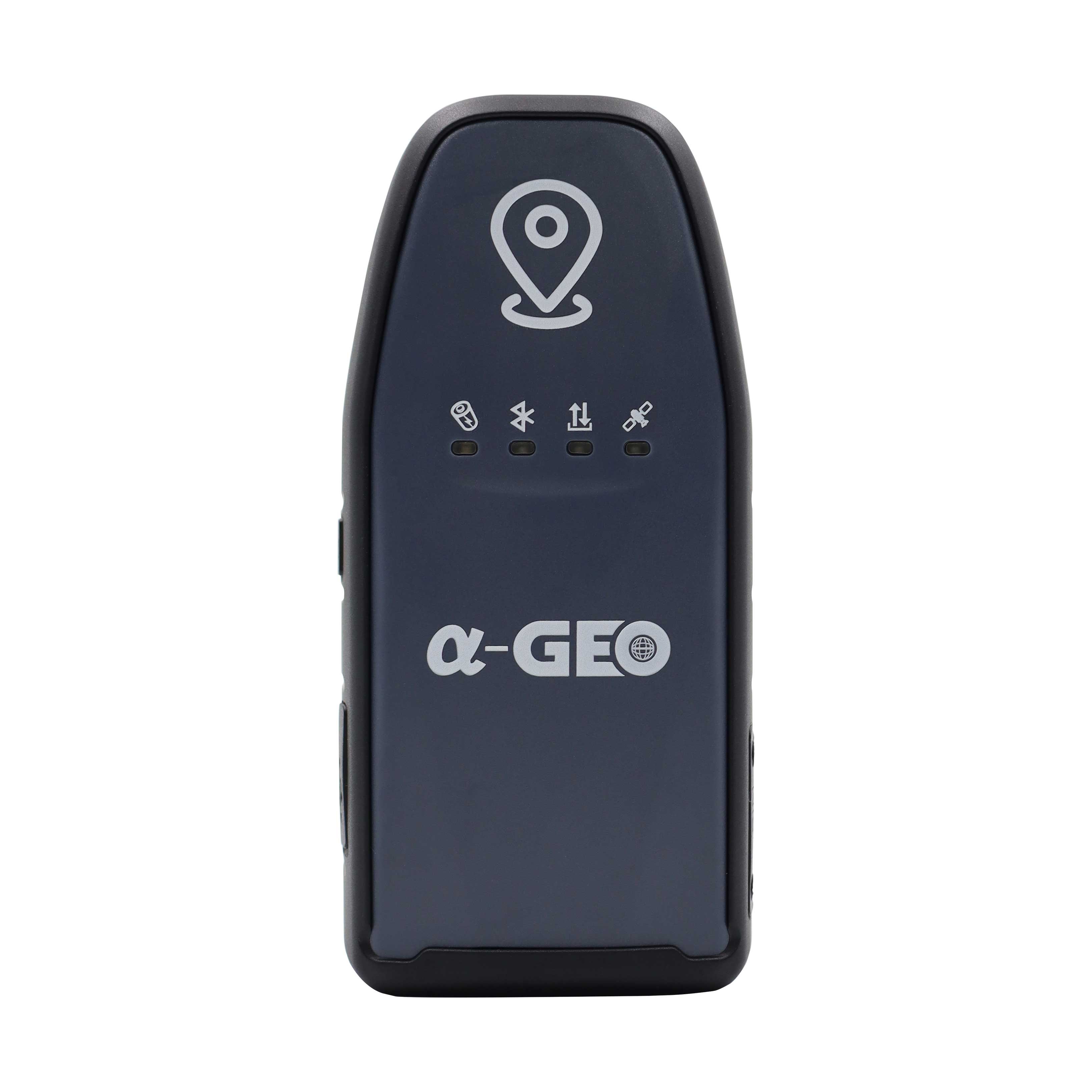
| Indicator | Power indicator, data link indicator, satellite indicator, Bluetooth indicator | |
| WEBUI | Support WEBUI configuration | |

Are you looking for a reliable and experienced partner to meet your needs? Join us
Contact Us


@2024 Guangzhou Alpha Geo-Info Co., Ltd. All Rights Reserved.
 Network Supported