
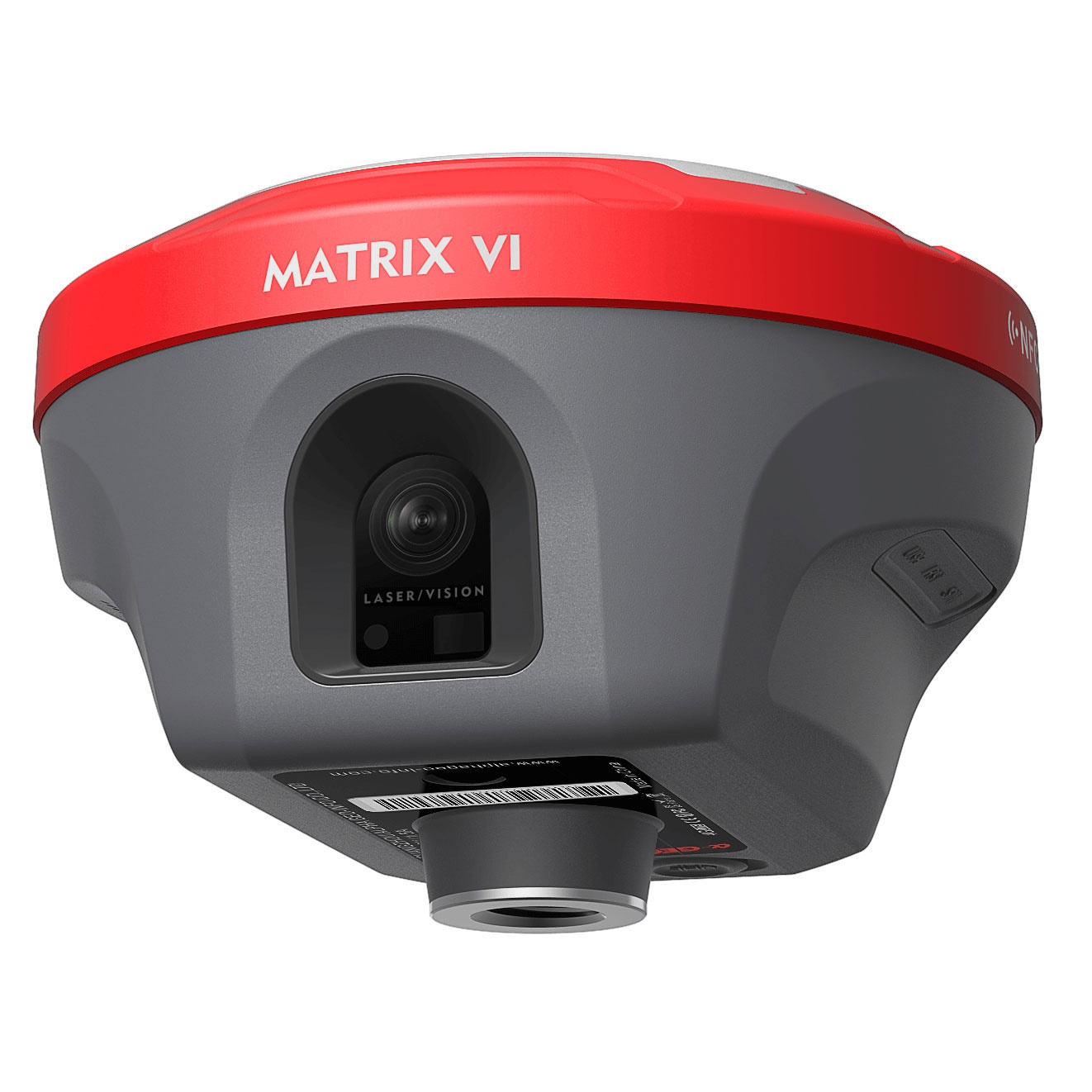


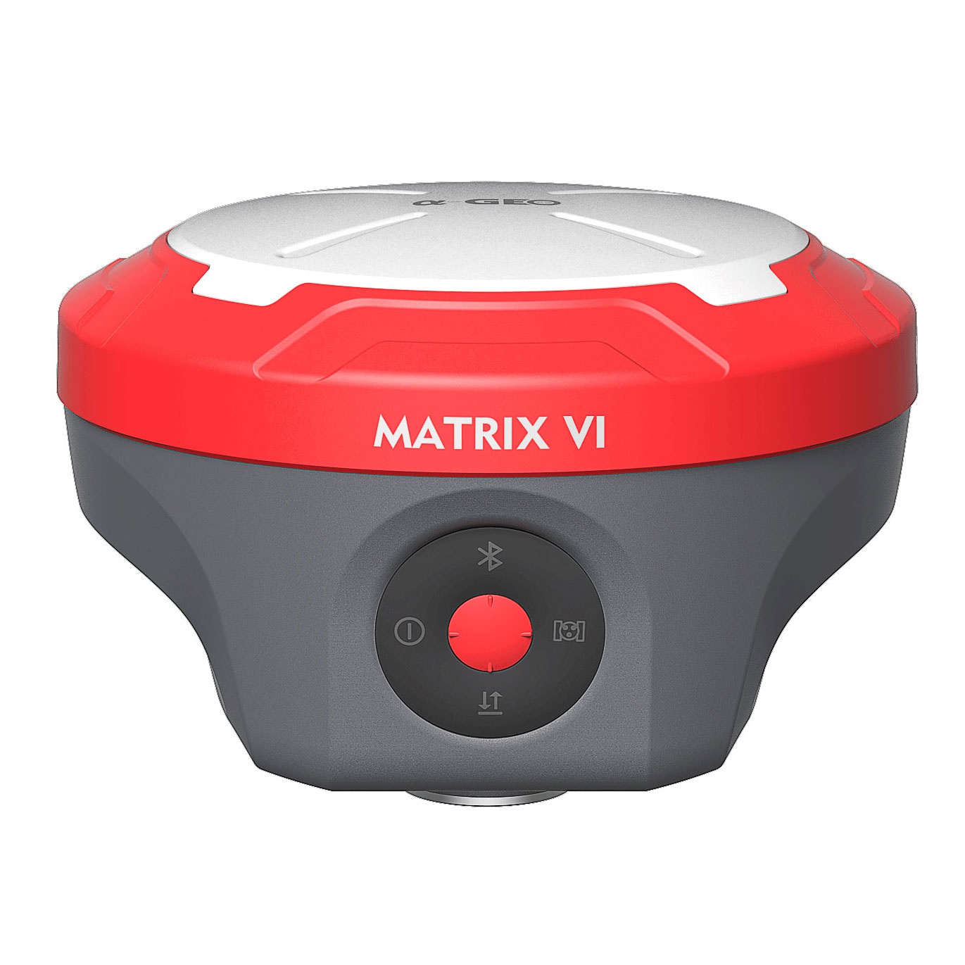


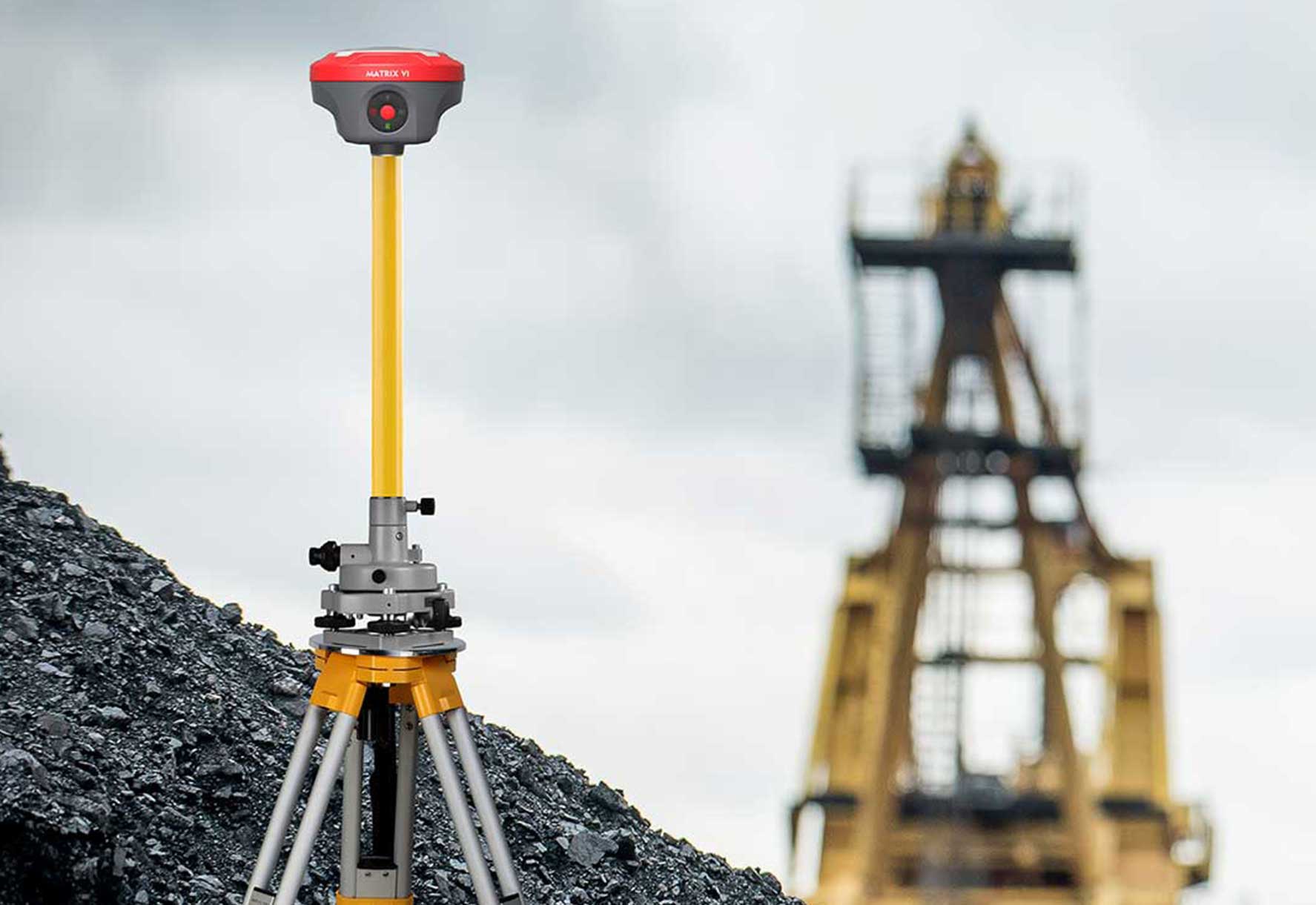
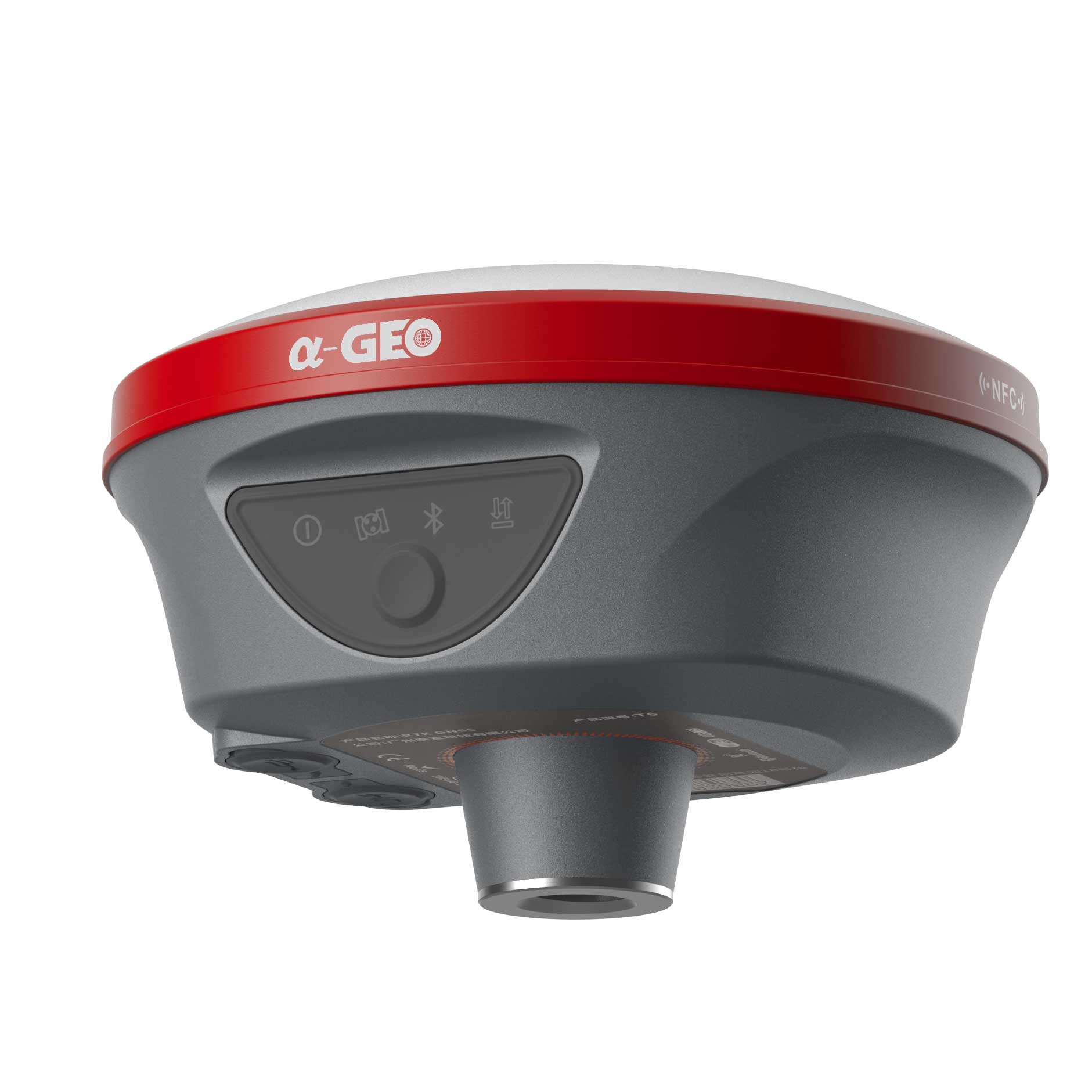
Matrix Vl is a brand new functional GNSS receiver merges Visual Positioning, AR real-scene stakeout and Laser measurement technologies,once breaking through the limit ations of GNSS products, offering surveyors more convenience and productive solutions.
Measuring as sharp as eyes
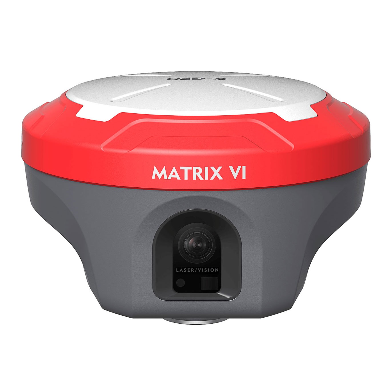
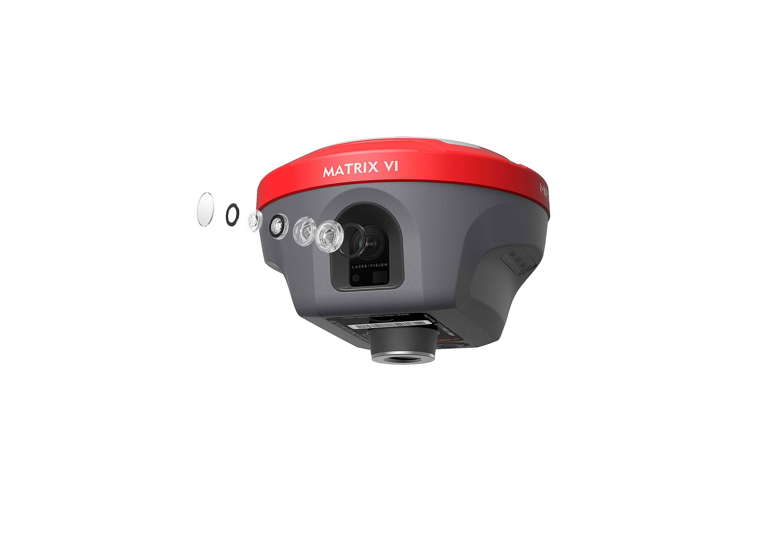
Matrix VI, a survey-grade GNSS receiver merges Visual Positioning technology, built-in core algorithms of photogrammetry, offering productive solutions for professional or amateur surveyors to measure points which previously could not be measured with are gular GNSS RTK easily.
The surveyors can quickly capture the site with a set of images or a video, and measure the points coordinate from them, no matter inthe field or later in office.
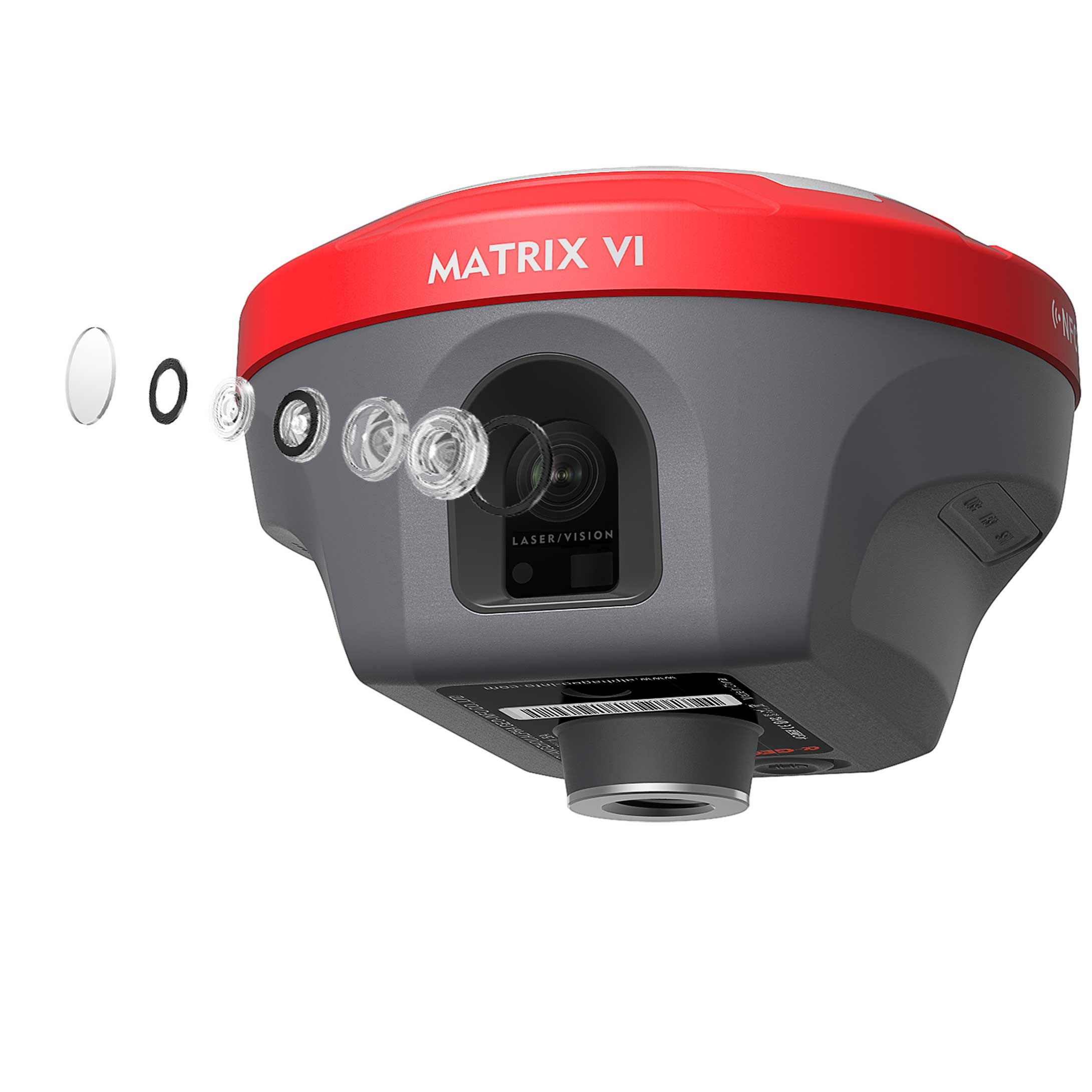
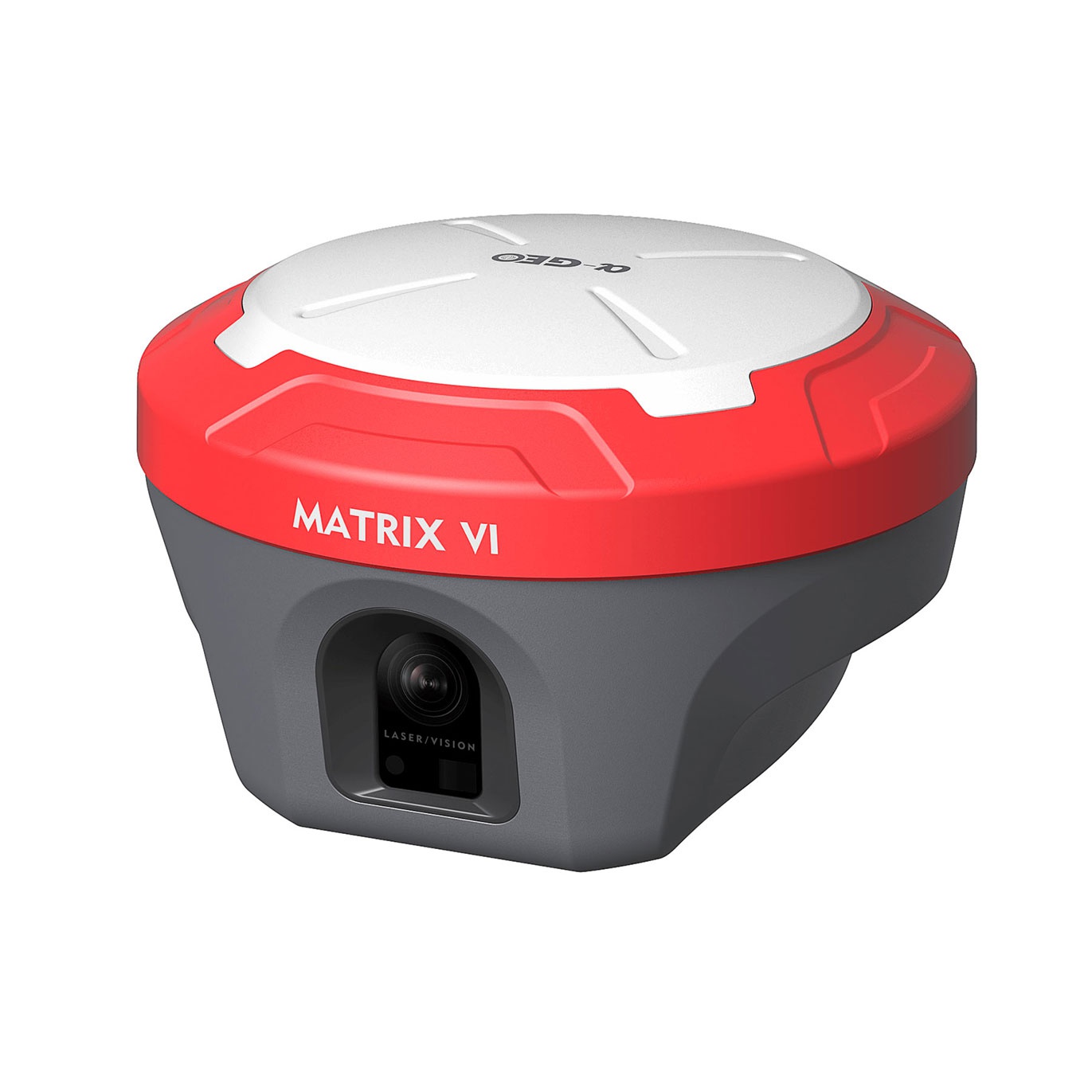
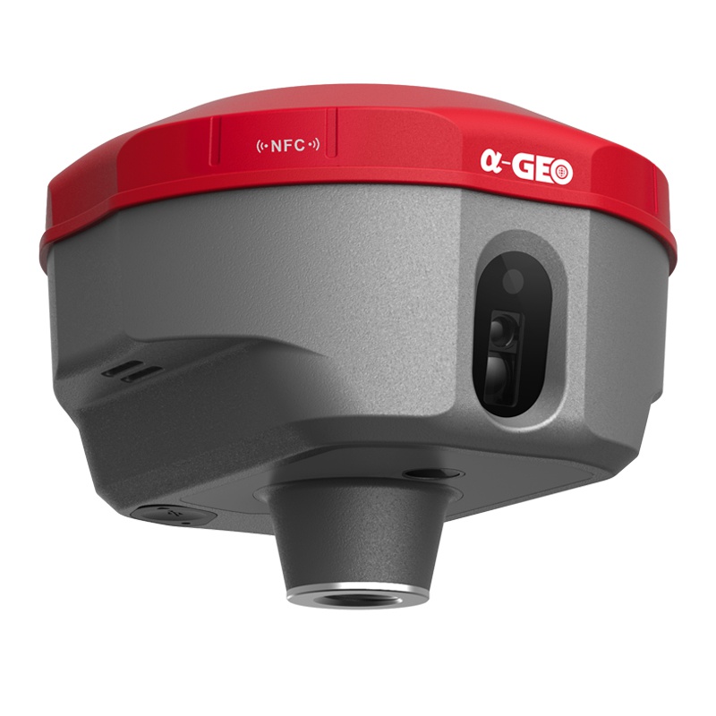
The side camera is not just for photogrammetry, it is also an assistant for laser measurement. When using laser measurement, the laser spot cannot be clearly seen whether it is on the measured point in the strong light conditions. The camera, as the eye of the instrument, it can provide real-time images to determine whether the laser spot has been aimedat the measured point or object.
Right to the point with AR real-scene stakeout
When the stakeout points are marked directly on the ground surveyors can easily find the exact location of the stakeout points, by following the arrows on the real-life map, they can stake out point in one go without having to move the pole back and forth, making the stakeout work more accurate and efficient.
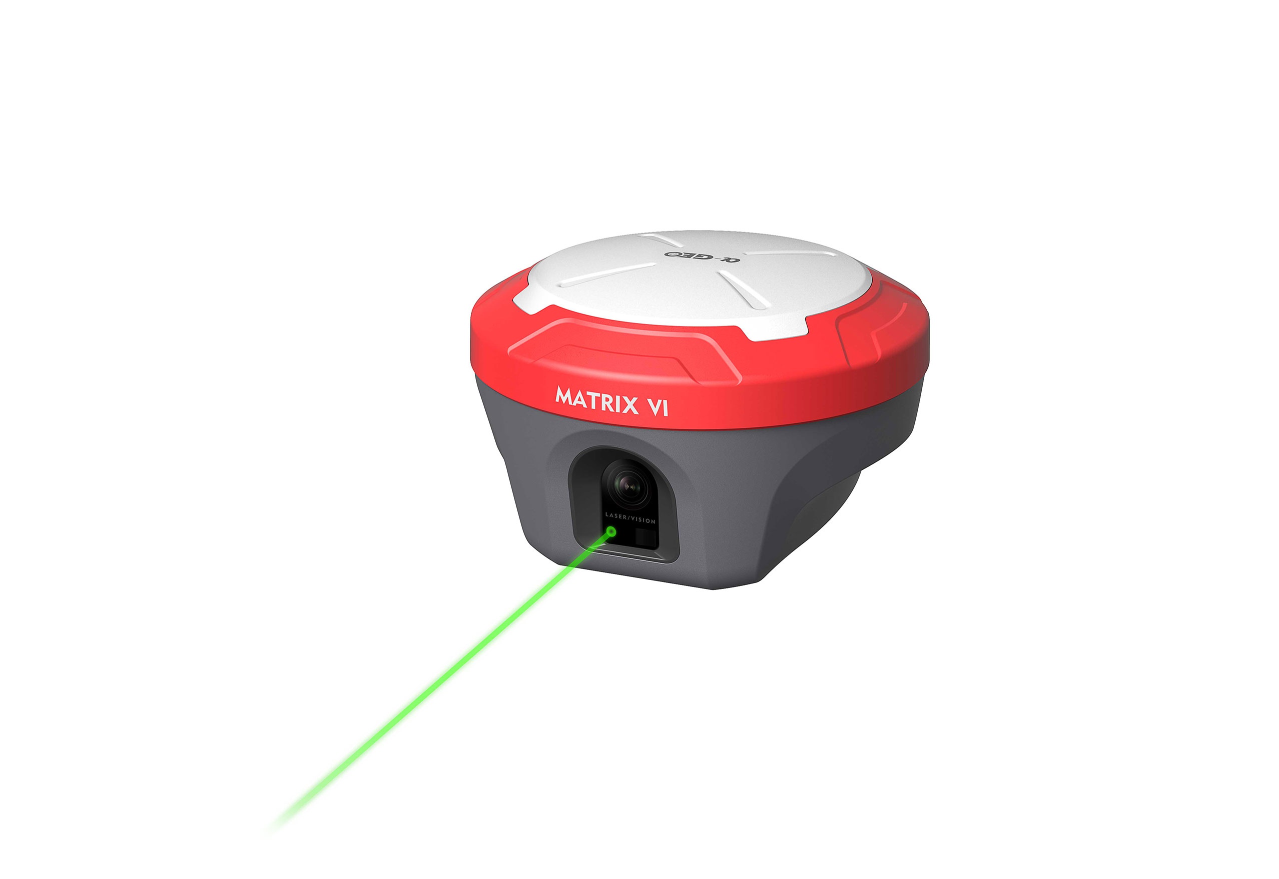
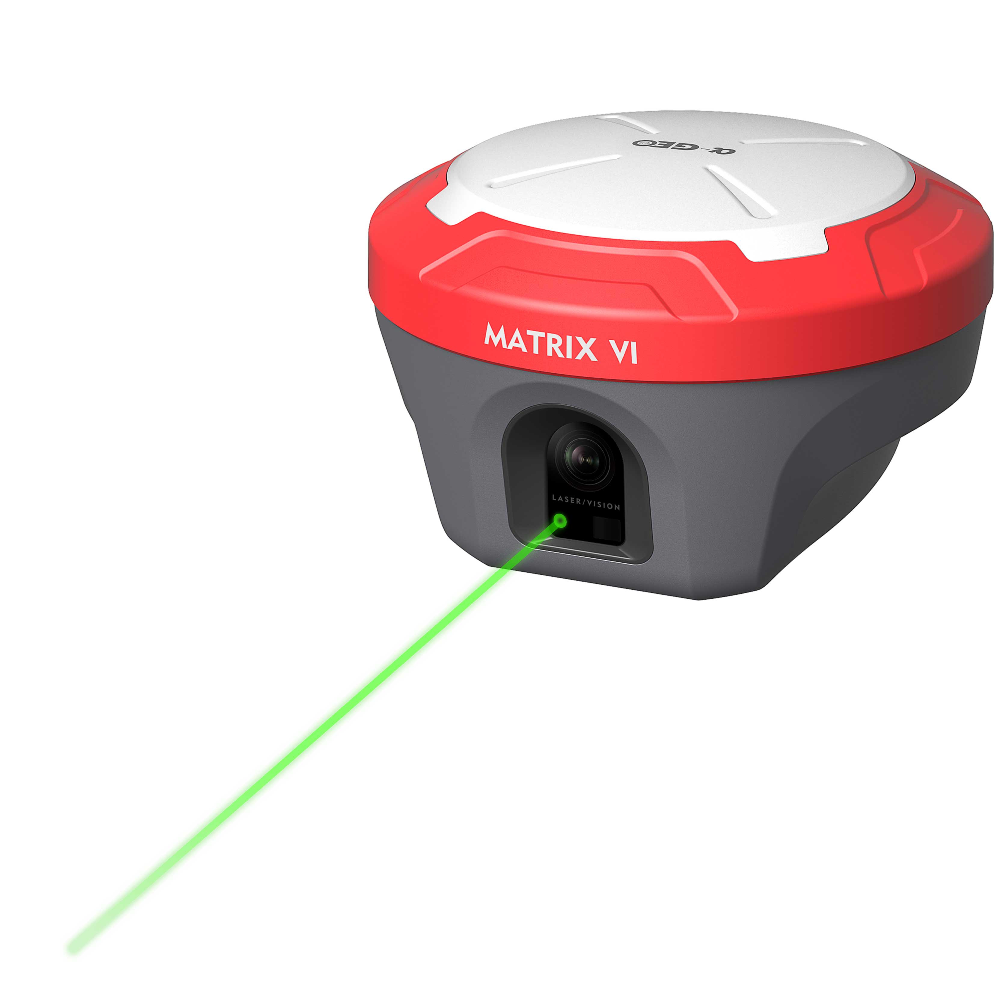
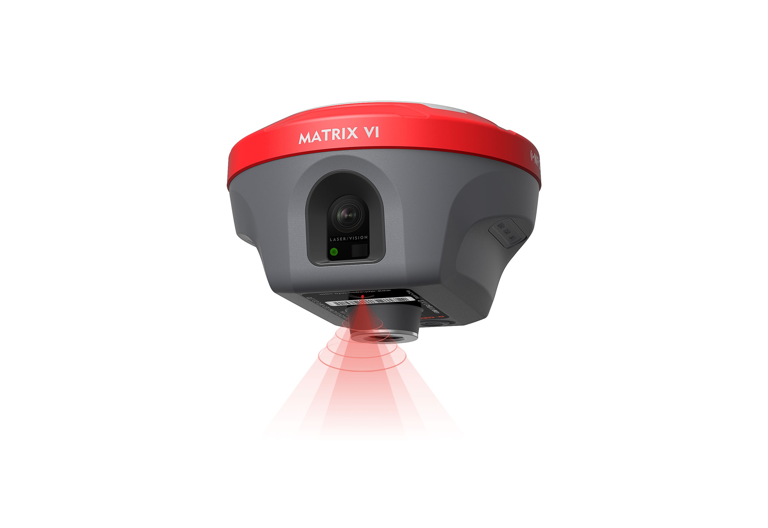
Laser surveying opens a new mode of measurement
The world's exclusive patented laser coordinate measurement quick calibration technology can easily achieve centimeter-level measurement accuracy, making measurement more accurate and user-friendly, besides the camera used in the equipment overcome the difficulty of aiming under sunlight, making field measurement operations faster and more efficient.
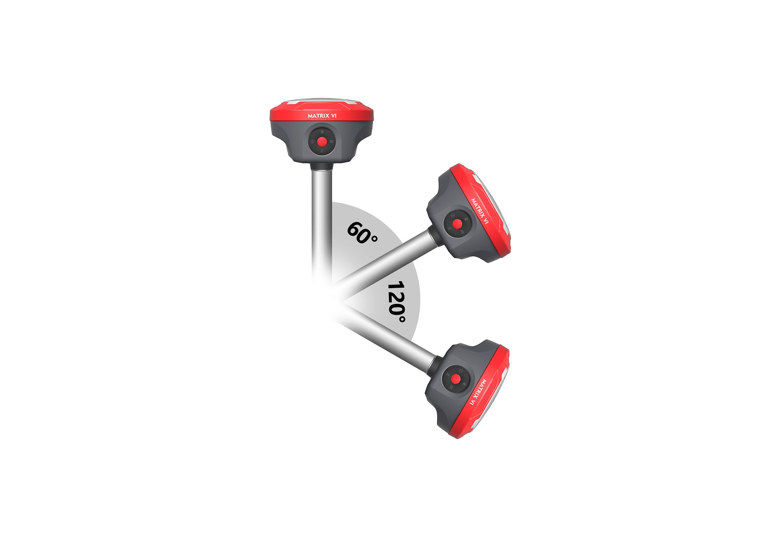
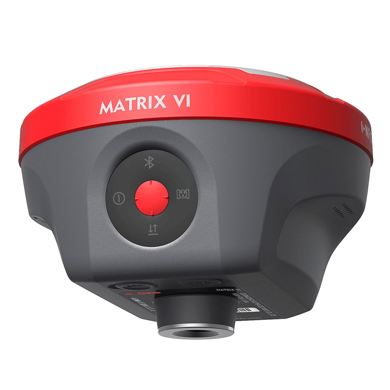
Super lMU,say goodbye to repeated initialization
Based on a fast initialization, calibration free and immune to magnetic interference lMU sensor, measuring with Matrix VI, surveyors can flexibly capture points coordinate no matter leveling the receiver orinclining the pole, they can gain reliable results, in this way, each measurement will be faster and more efficient, moreover, the tilt angle can be up to 120°.

Safer measurement
With the laser measurement, Matrix Vl is able to minimize the risks or avoid dangers during surveying along the side or central are as on the road with heavy traffic, high voltage tower and transformer, with the laser aiming at the measured point and and maintain a certain safe distance from these dangerous locations.

Goes with powerful GNSS performance
Empowered by powerful signals tracking algorithm, and with the 1408 channels of GNSS engine, Matrix Vl is able to track enormous signals of all running satellite constellations, which improves the fixed rate and speed so that you don't need to wait for a long time to get fixed solution as used to be. With the built-in proprietary narrowb and interference mitigation technology, that is more than enough to let you easily navigate in complex environments, such as in the thick forest or besides the high buildings, the accuracy can be ensured.
Worry-free storage
Built-in 64GB memory, which can meet most needs of field work, and the feature of cyclic storage helps receiver to automatically remove the previous observation data while there is not enough space in the memory, that data storage can last almost 4 years based on 5s sampling interval, and the design of embedded memory chip can ensure the safety of observation data.
Specifications
| GNSS Performance | Signals tracking | GPS: L1C/A,L2C,L2P,L5 |
| GLONASS: L1,L2 | ||
| BDS: B1,B1C,B2,B2a,B2b,B3 | ||
| GALILEO: E1,E5a,E5b,E6 | ||
| QZSS: L1,L2,L5,L6 | ||
| SBAS: WAAS,EGNOS,MSAS,GAGAN,SDCM | ||
| Channels | 1408 | |
| Cold start | <60s | |
| Hot start | <15s | |
| Positioning output rate | 1Hz~50Hz | |
| Signal reacquisition | <1s | |
| RTK initialization time | <5s | |
| Initialization reliability | >99.99% | |
| Time accuracy | 20ns | |
| Positioning accuracy* | Code differential GNSS positioning | H: 0.25m+1ppm RMS |
| V: 0.50m+1ppm RMS | ||
| SBAS differential positioning accuracy* | Typically< 5m 3DRMS | |
| Static surveying | H: 2.5mm+0.5ppm RMS | |
| V: 5mm+0.5ppm RMS | ||
| RTK surveying(baseline<30km) | H: 8mm+1ppmRMS | |
| V: 15mm+1ppm RMS | ||
| Network RTK* | H: 8mm+0.5ppmRMS | |
| V: 15mm+0.5ppm RMS | ||
| Laser measurement | ±1cmm+5mm/m | |
| Sensor | IMU | Supported,4D lMU initialization in 3 seconds |
| Update rate | 400Hz | |
| Accuracy | <2.5cm within 120° | |
| Tilt compensation | 0~120° | |
| Camera | Visual camera | Global shutter with 2MP |
| AR camera | 5MP | |
| FOV | 84° | |
| Physical | Materials | Magnesium alloy |
| Dimensions | 129mmx129mmx99mm | |
| Weight | <0.8kg | |
| Operating temperature | -40℃~+75°C | |
| Storage temperature | -55℃~+85℃ | |
| Waterproof/Dustproof | IP67 standard, protected from 30min immersion to depth of 1m | |
| Shock | Survive a 2m pole drop onto concrete | |
| Vibration | MIL-STD-810G | |
| Humidity | 100% non-condensing | |
| Eletrical | Power supply |
9~24V DC external power inputto 5-pin LEMO port Supports Type-C fast charging |
| Battery | Built-in 7000mAh-7.4V Li-ion battery | |
| Battery life | Rover mode: 12hours | |
| Base mode: 7hours | ||
| Static mode: 15hours | ||
| Communications | l/O interface | 1*5-pin LEMO port, power supply, RS232, external radio communication port |
| 1*USB Type-C port, charging, data download | ||
| 1*SlM card slot, Nano SlM | ||
| 1*UHF antenna interface | ||
| Internal UHF | 1.5W receiver and transmitter | |
| Frequency band | 410MHZ~470MHz, supports frequency modification | |
| Protocols | Trimtalk450S, Alphatalk15, South,Satel, PCC-EOT | |
| Cellular network |
Full frequency multi-band 4Gmodem, supports TDD-LTE/FDD-LTE/WCDMA/CDMA2000 |
|
| WiFi | 802.11 b/g standard, access point & client mode, supports accessing to hotspot for correction transmission | |
| Bluetooth | Bluetooth 5.2 classical/BLE proprietary dual-mode | |
| Differential data format | RTCM2x, RTCM3x, CMR&CMR+, sCMRX | |
| GPS output data format | RINEX, NMEA-0183 | |
| Data storage | Memory | 64GB, supports cyclic storage, with ability to collect almost 4 years raw observation based on 5s interval |
| User interaction | Operating system | Linux OS |
| Buttons | Power key | |
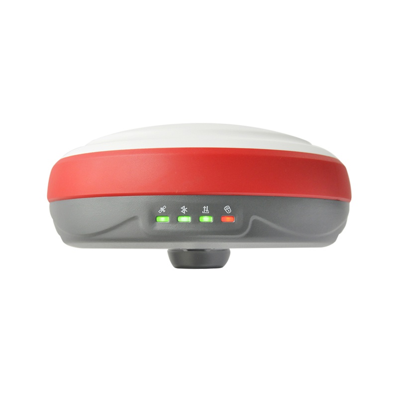
| Indicators | 1*Power indicator | |
| 1*Bluetooth indicator | ||
| 1*Satellite | ||
| Voice | indicator1*Data link indicator Intelligent voice prompts | |
| Web Ul | Supports Web Ul configration |

Are you looking for a reliable and experienced partner to meet your needs? Join us
Contact Us


@2024 Guangzhou Alpha Geo-Info Co., Ltd. All Rights Reserved.
 Network Supported