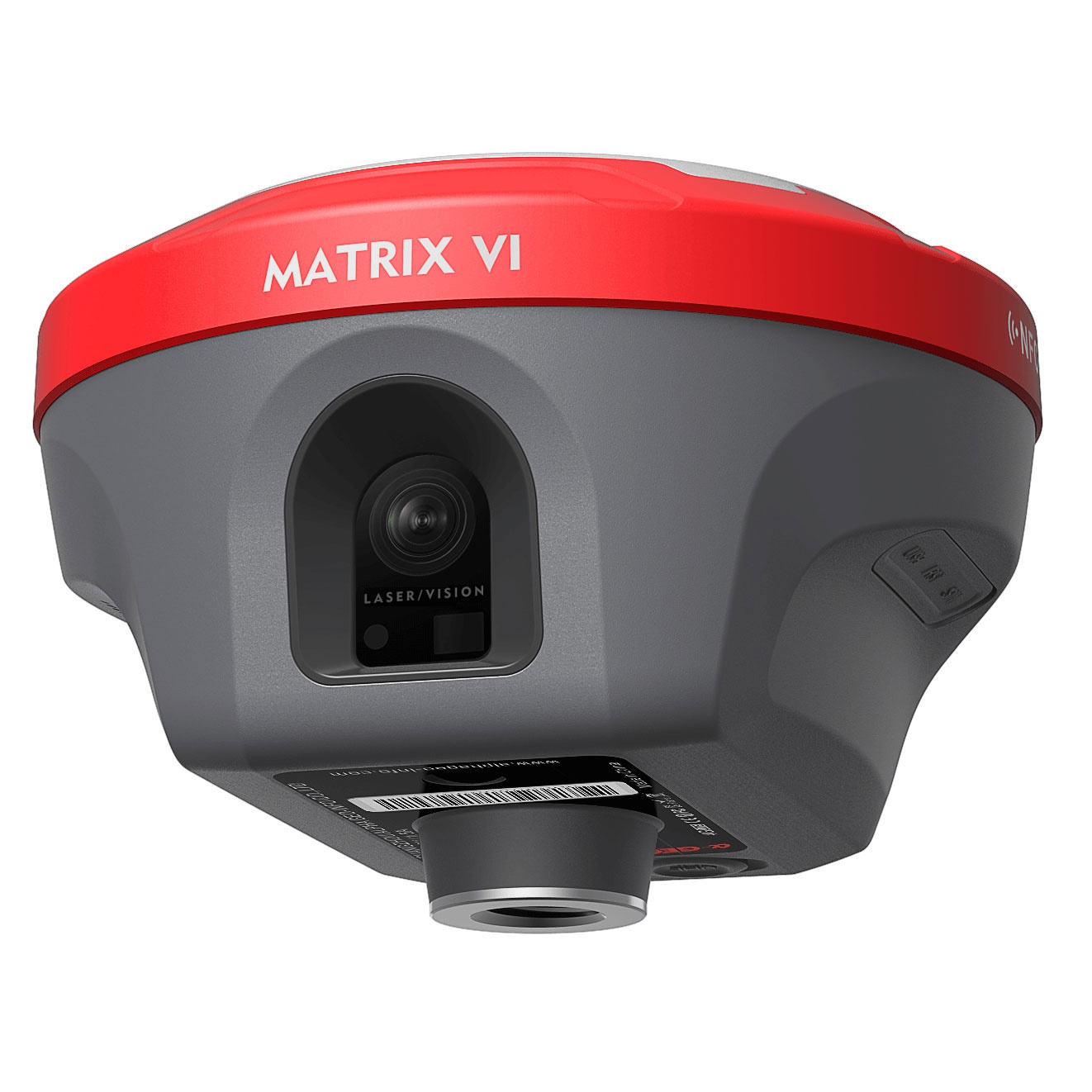
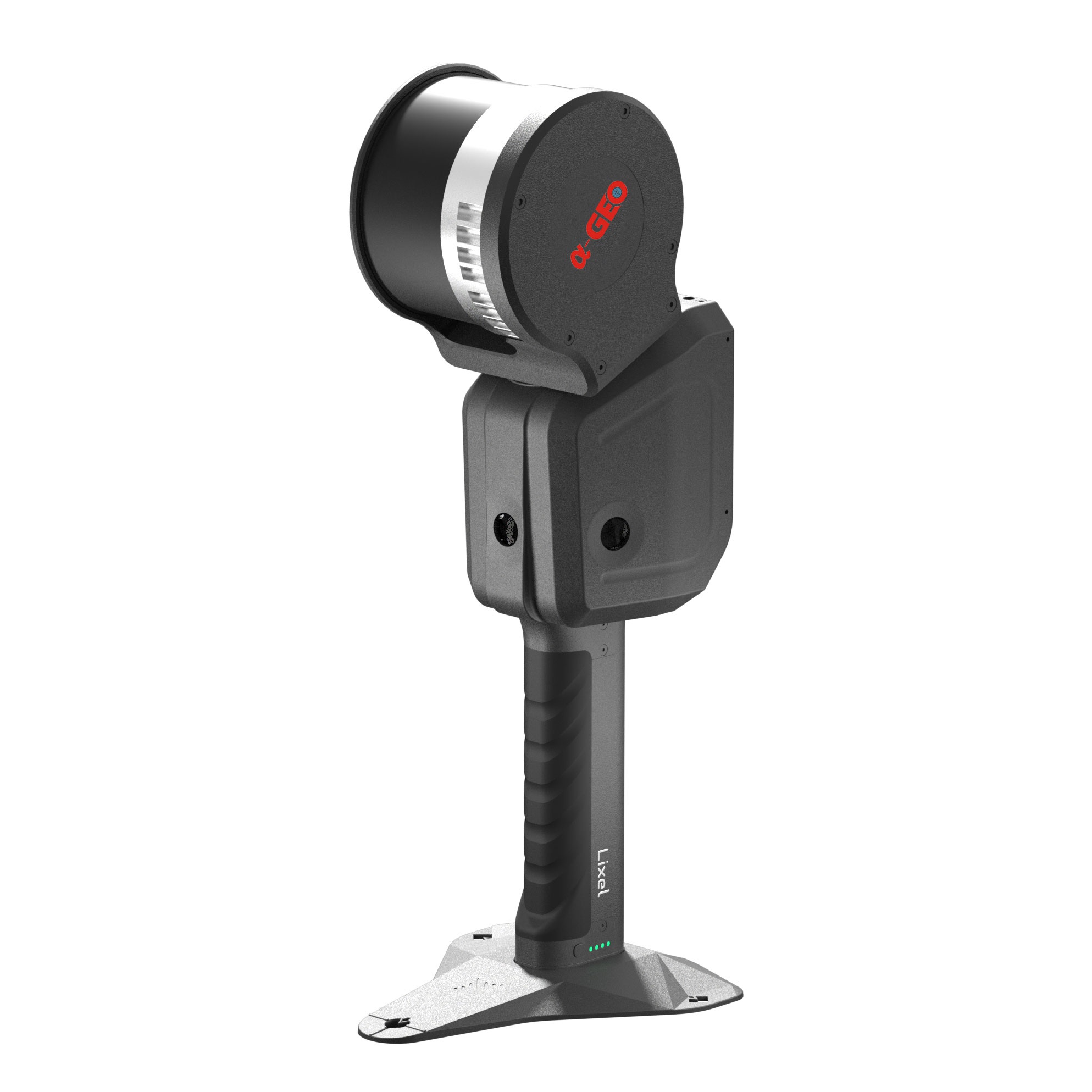


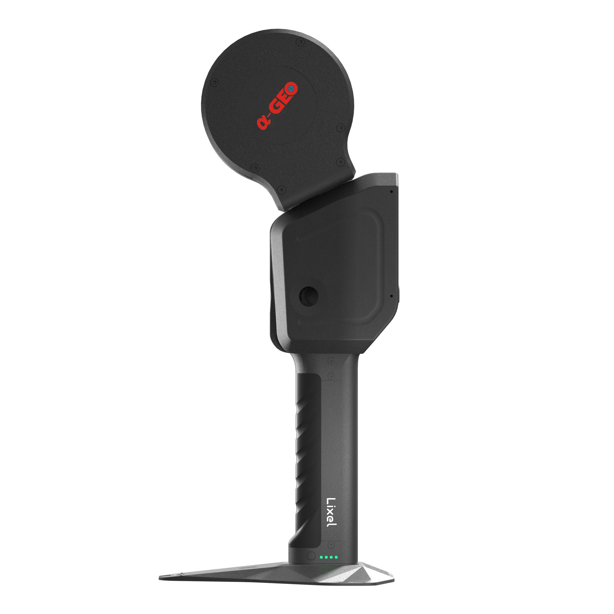

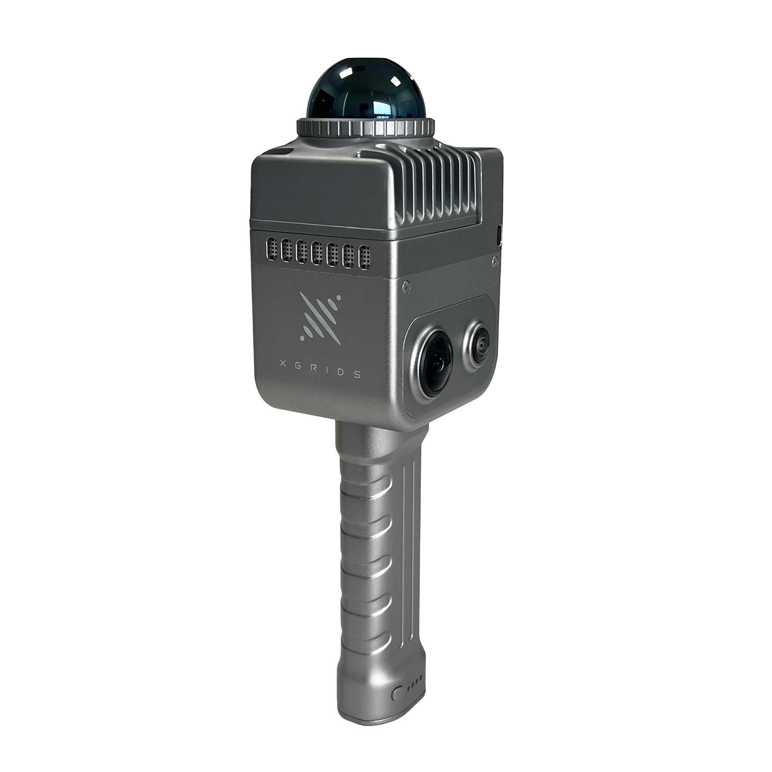
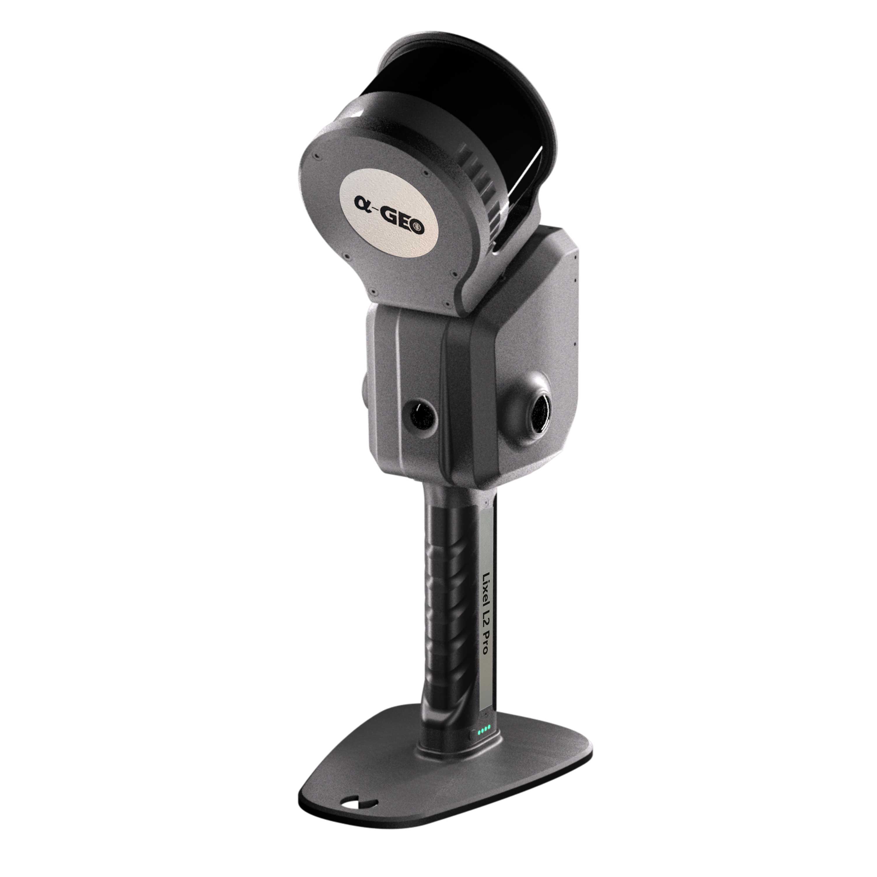
Lixel L2 is an new generation handheld real-time 3D reconstruction laser scanner, achieving a 300-meter scanning range with ultra-high precision of +-1.2cm. It can instantly output color point cloud without external devices, generating data is thinner, purer and more uniform. It brings about a transformation in the efficiency and quality of 3D modeling and reality capture.
Features
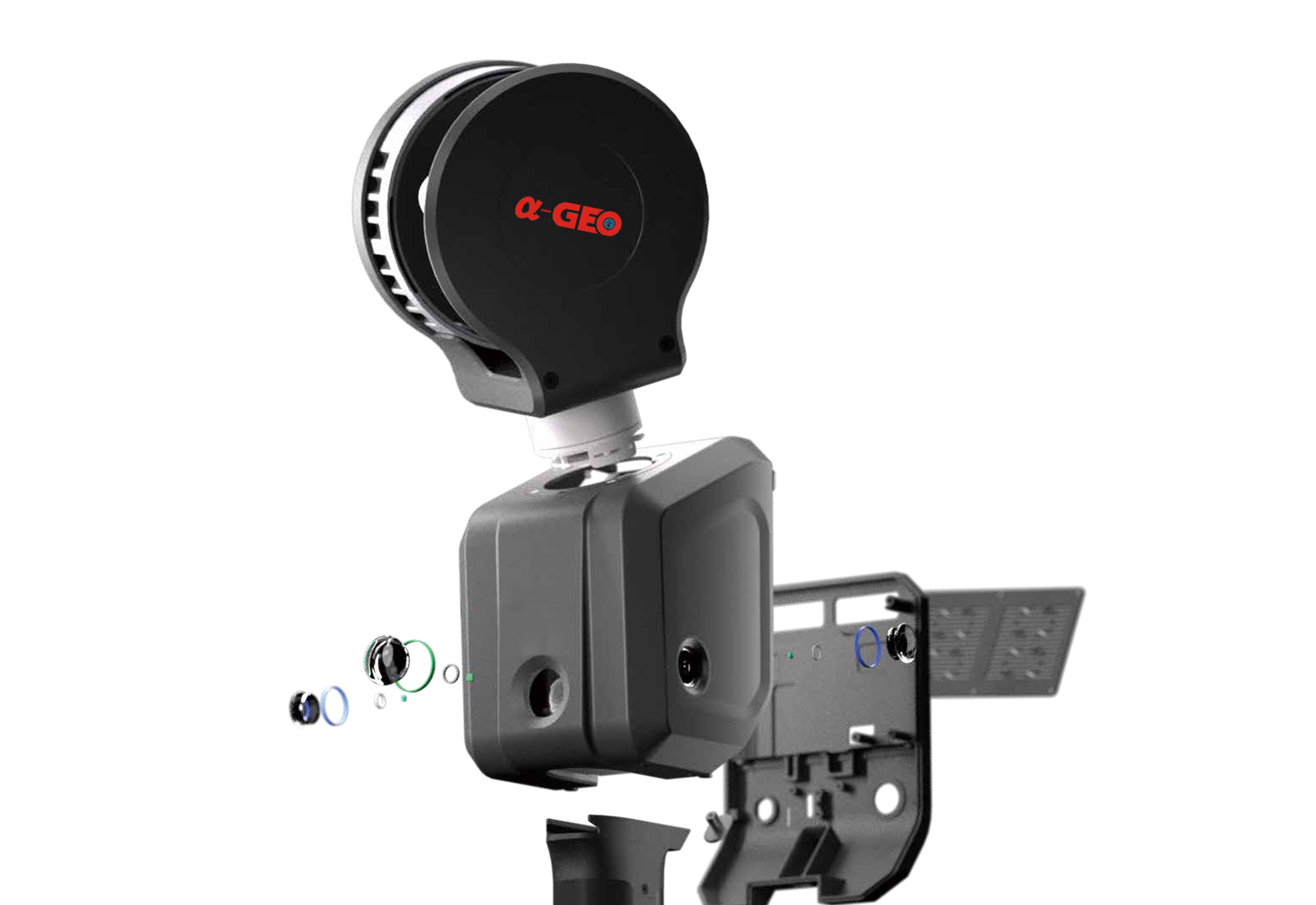
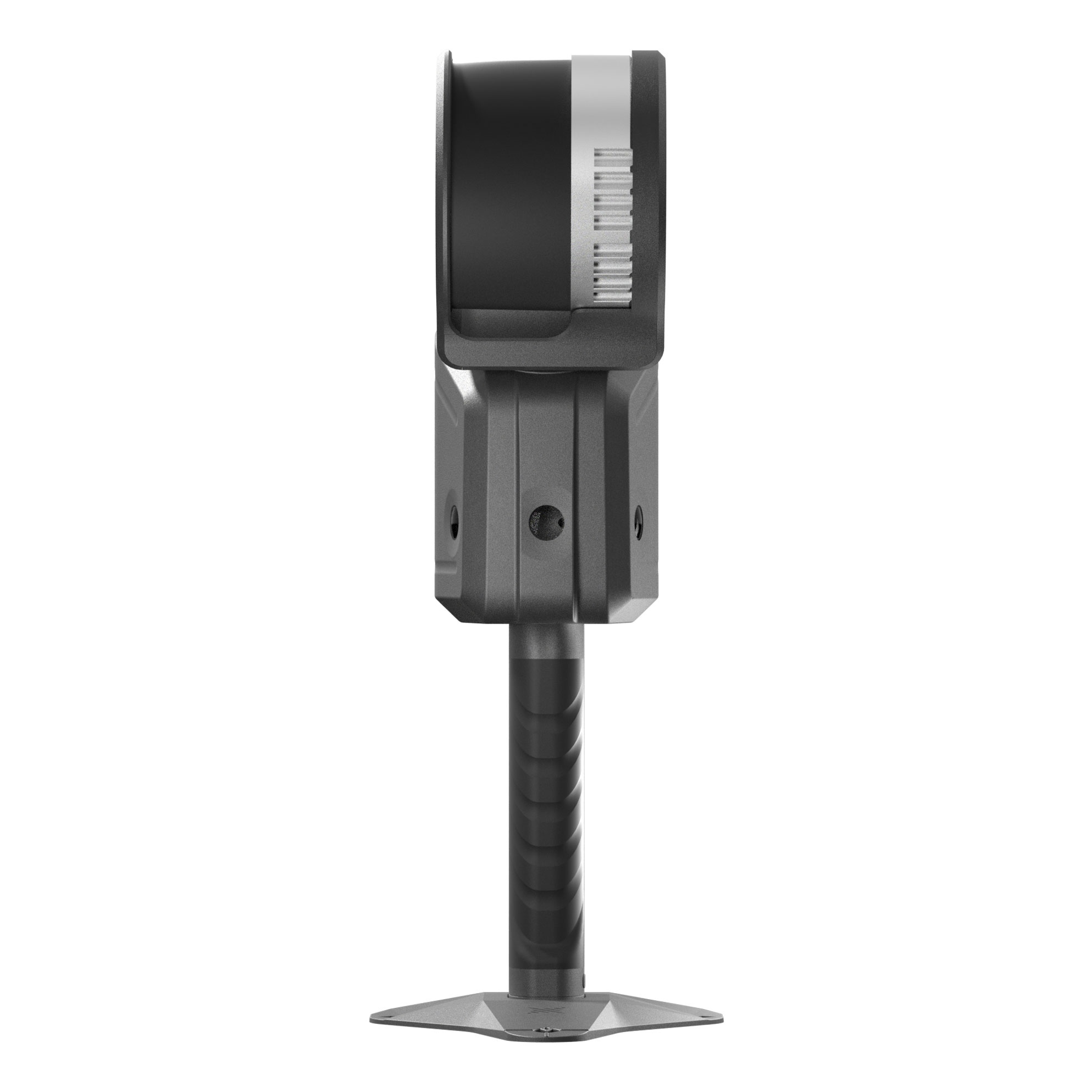
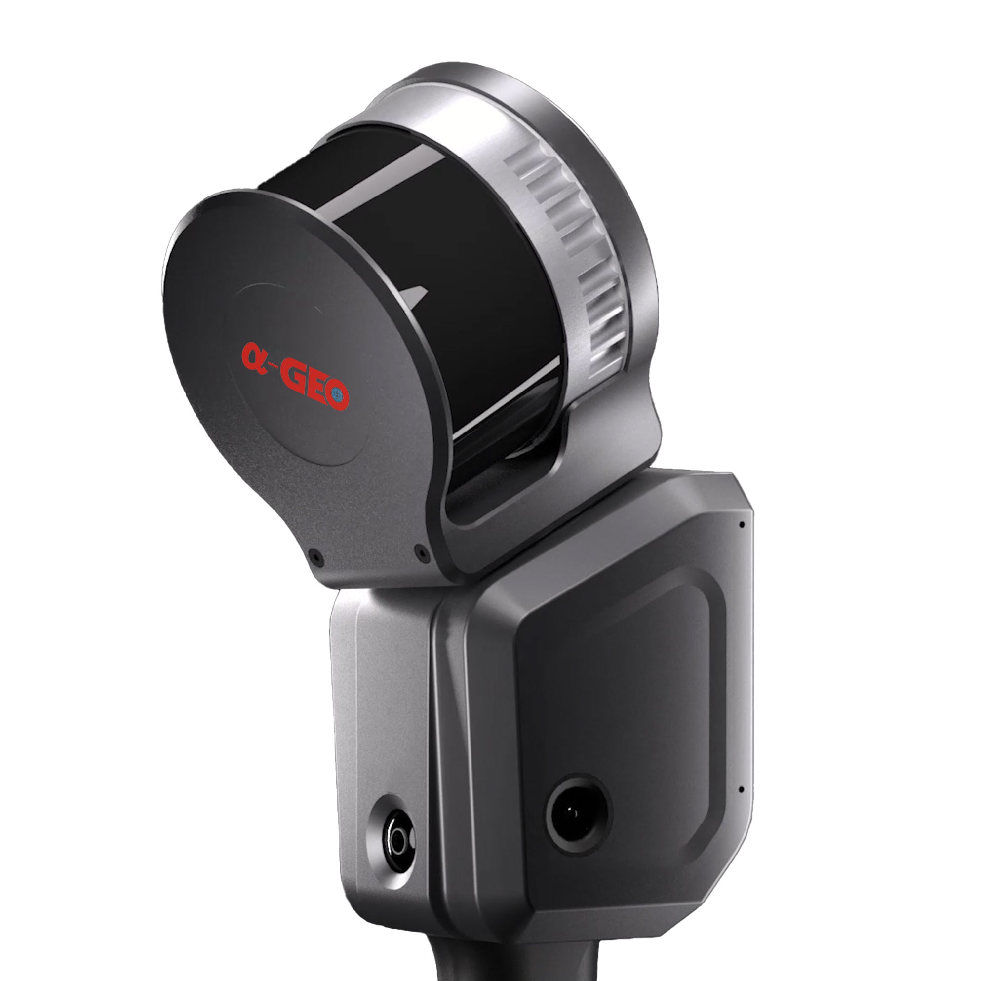
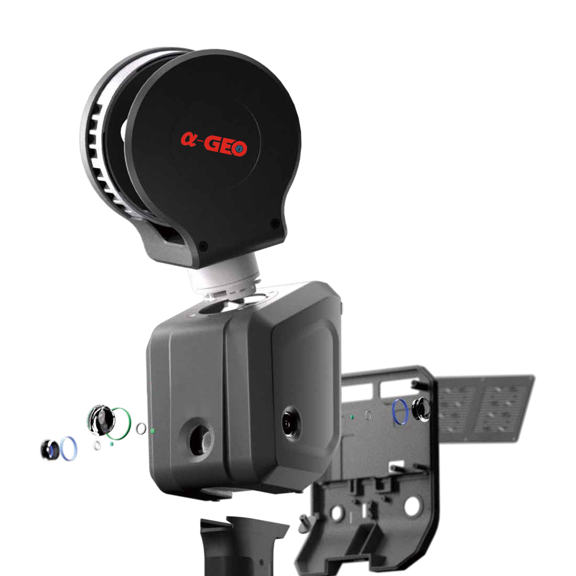
Highly integrated LIDAR, panoramic camera, high-precision IMU module and high-performance computing unit can achieve 360° panoramic scanning without external equipment. 120m measuring distance can cover a wider scanning range, making scanning job more efficient.
Generating true-color point clouds in real-time with rich details, and delicate depiction of the real world.

Built-in self-developed core algorithms, fusion of laser, vision, and gnss module, that ensures excellent performance in complex/degraded scenes such as open spaces, tunnels, and multiple parts.
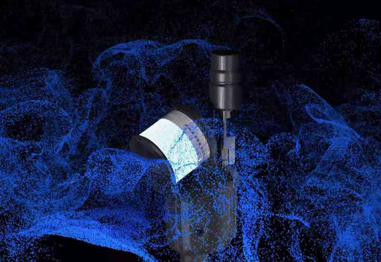
With the 16-channel Lidar, coupling with the point rate of 320,000 points/second, really makes the distribution of point clouds more dense.
The point cloud model is output directly in las format that the reconstruction effect can be viewed in real-time, modeling while scanning, deliver what you see and scan.
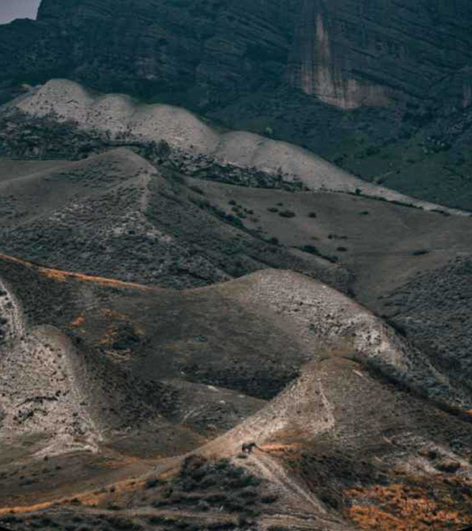
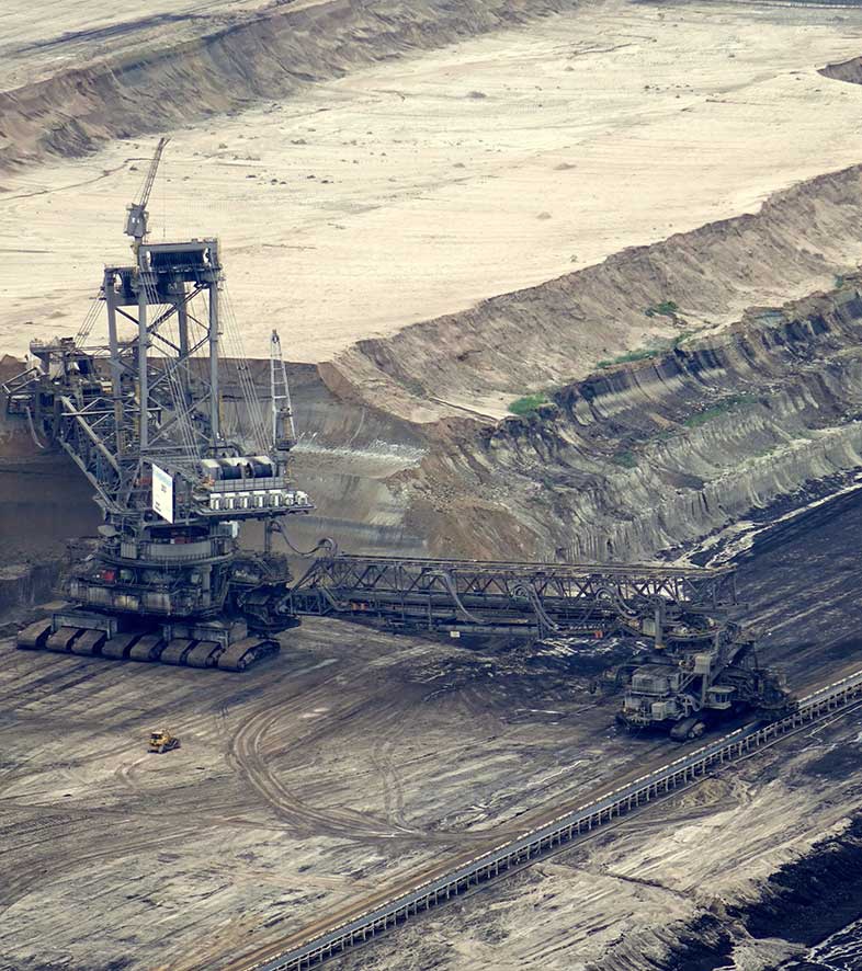
Application scenarios


Software kit
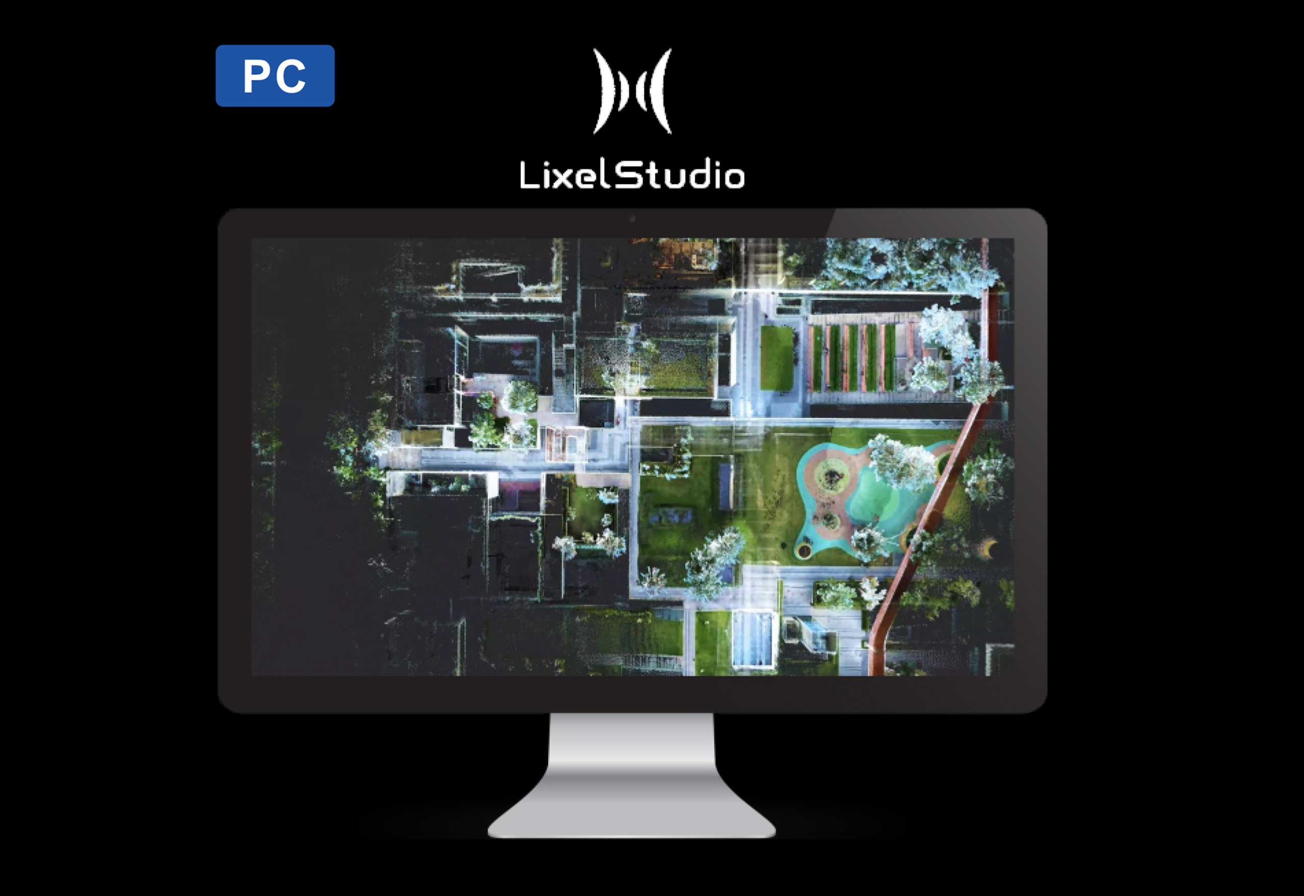
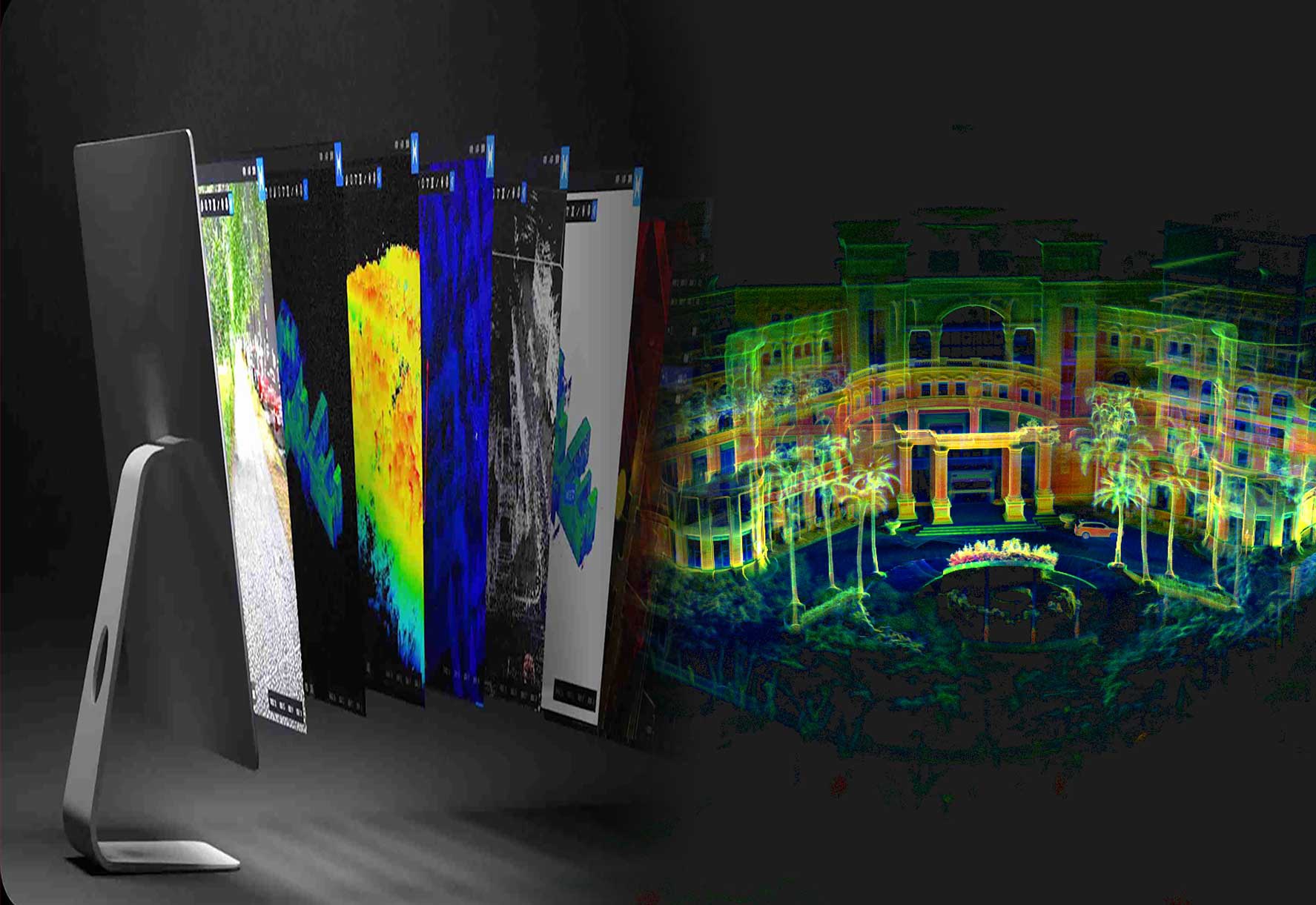
PC
An all-in-one 3D post-processing software offers a range of features, including point cloud viewing, editing, modeling generation,and post-processing
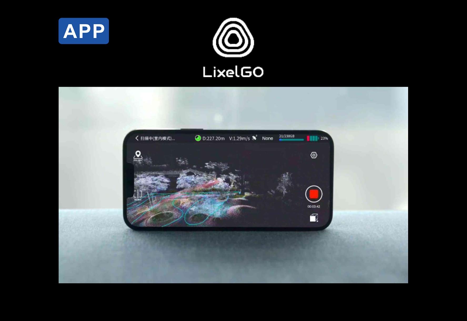
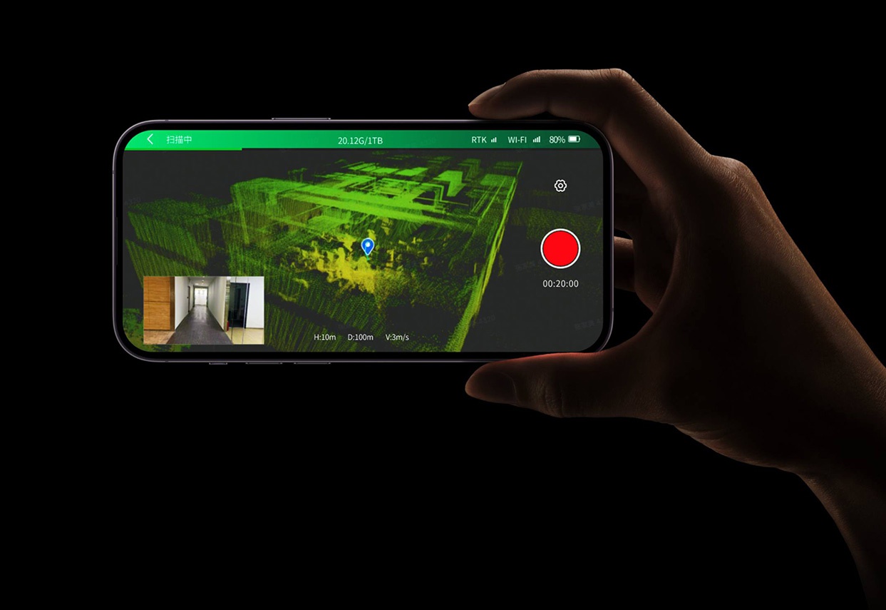
APP
It is a mobile APP for the regular scanning work-flow operation, preview of scanning results, and one-screen monitoring of device status
Specifications
| Working range | 0.5m~120m |
| Laser class | Class 1/905nm |
| Laser FOV | 360°x270° |
| Processing mode | Real-time/Post-processing |
| Scanning speed | 320,000 points/second |
| Operating temperature | -20℃~+50℃ |
| Power consumption | <30W |
| Storage capacity | 1TB |
| Operating time | 1.5 hrs |
| Protection level | IP54 |
| Horizontal accuracy | ≤0.015° |
| Number of camera | 3 |
| Power supply | Fast-lock battery/external power |
| Dimensions(main body) | 138.45mm(L)x90mm(W)x227.32mm(H) |
| Weight | <1.6kg |
| Visual-aided positioning | Supports |
| Real-time color point cloud | Supports |
| 5G real-time transmission | Supports |
| RTK fusion | Supports |
| Resume scanning from break point | Supports |
| Point cloud format | *.las |
| Relative accuracy | +1.2cm |
| Absolute accuracy | ≤3cm |
| Repeat accuracy | ≤2cm |
| Battery capacity | 46.8wh |
| RTK frequency | BDS: B1l, B2l, B3l |
| GPS: L1C/A, L2P(Y), L2C, L5 | |
| GLONASS:L1, L2 | |
| GALILEO: E1, E5a, E5b |

Are you looking for a reliable and experienced partner to meet your needs? Join us
Contact Us


@2024 Guangzhou Alpha Geo-Info Co., Ltd. All Rights Reserved.
 Network Supported