
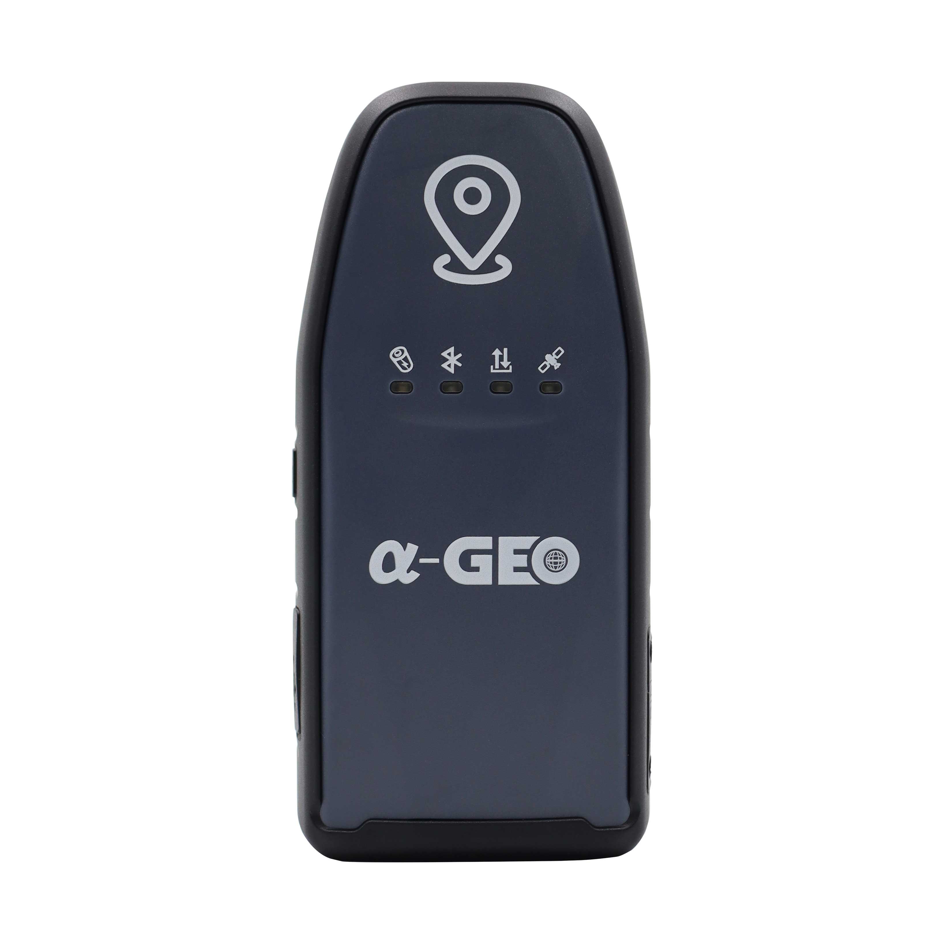
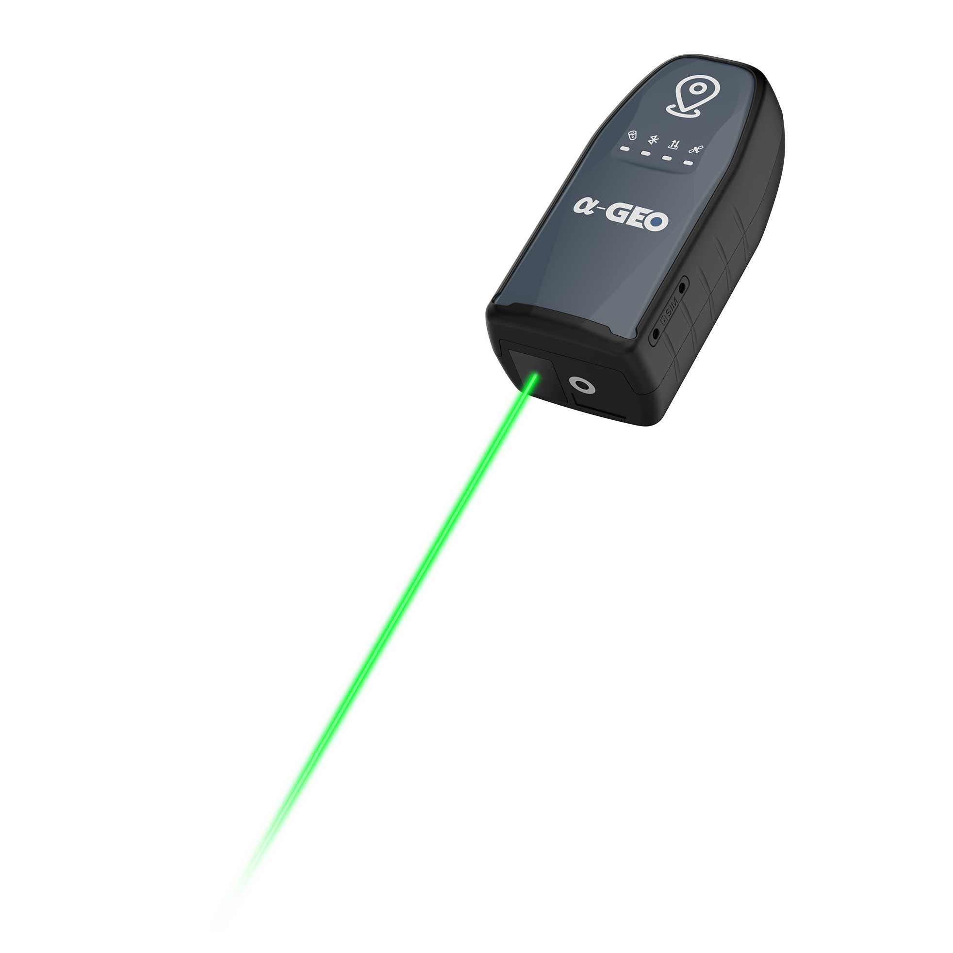


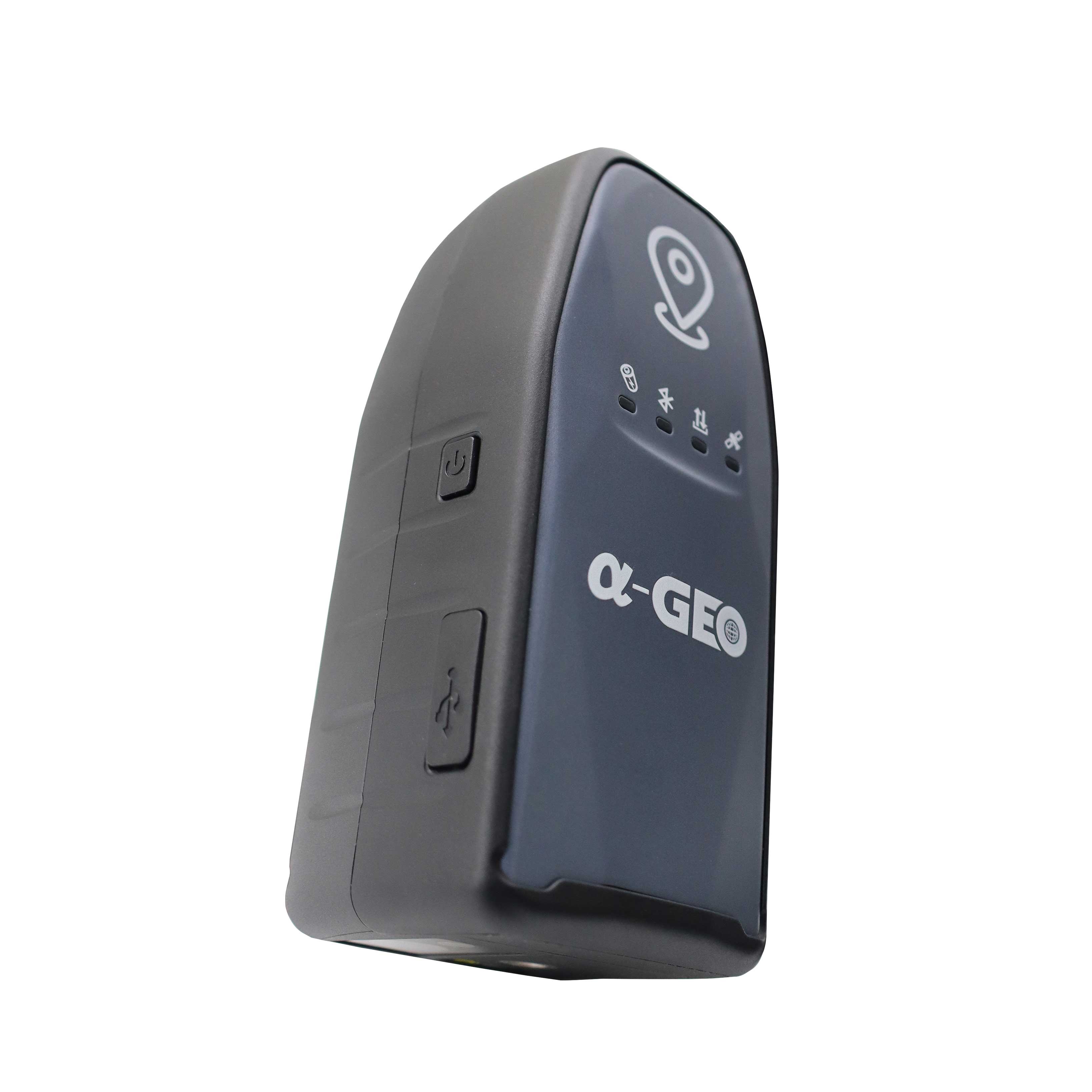


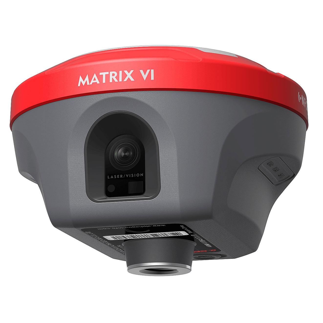
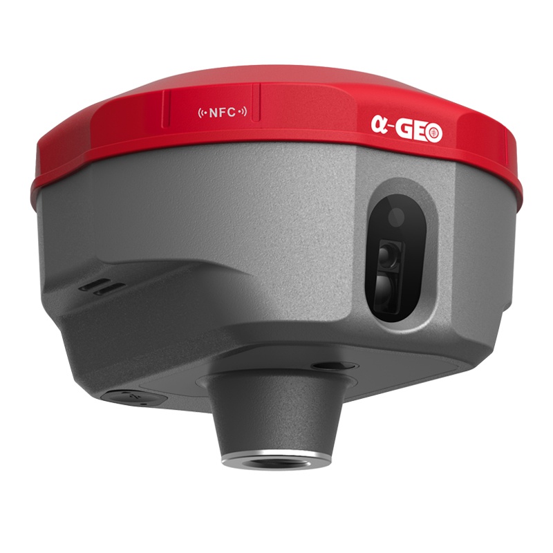
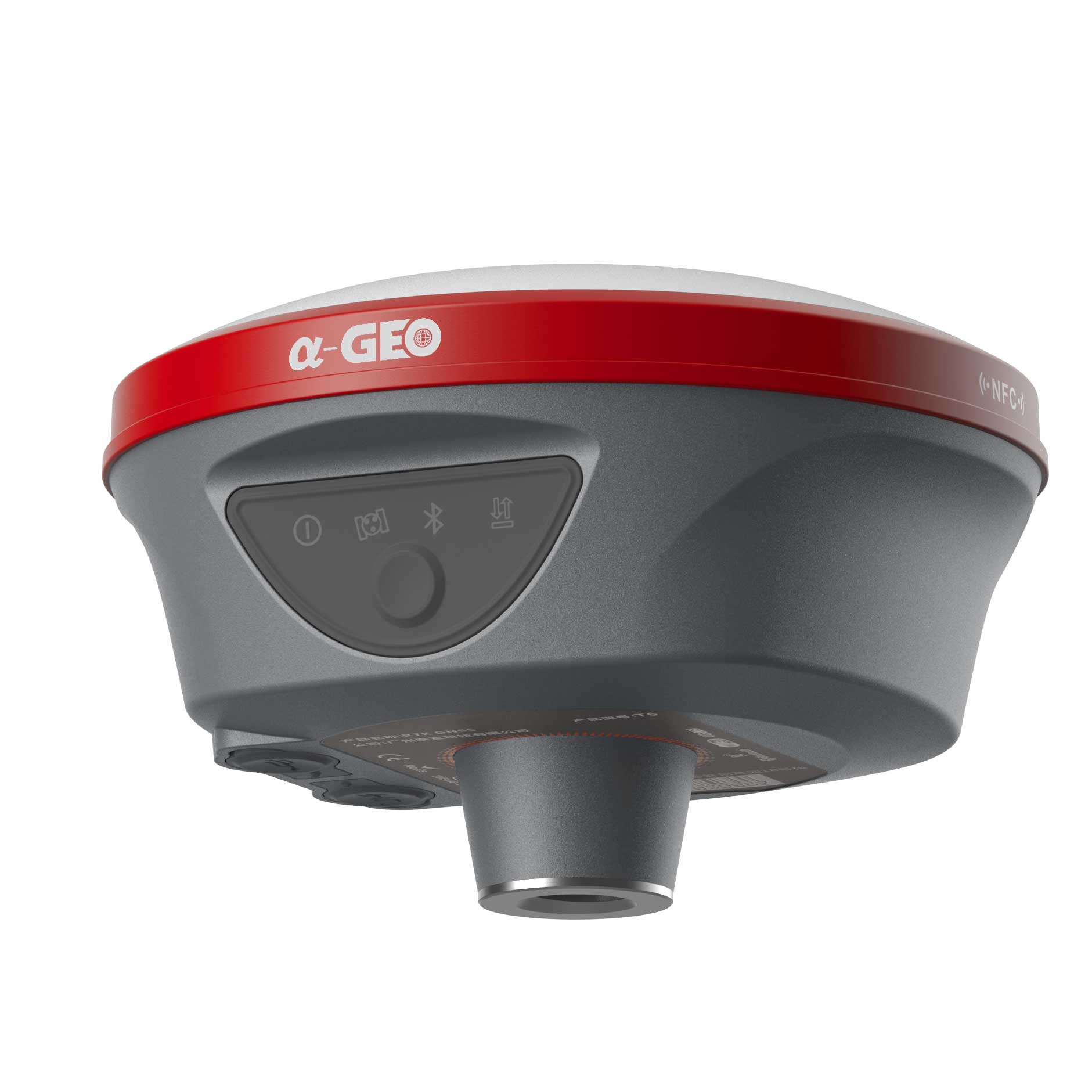
GeoPuls is a brand-new RTK instrument with laser function. Its appearance is bold and innovative, and its performance is excellent. Based on the experience of the previous generation of laser equipment, we have made more improvements, including no more frequent calibration, and the use of green laser to solve the problem of difficult to aim in bright light. In a real sense, it realizes measure where you aim, and replacing the pole in the traditional measurement method. However, we are also compatible with the pole mode, which allows the laser measurement to be used even when the pole is used.GeoPuls is a product that surveyors really need.
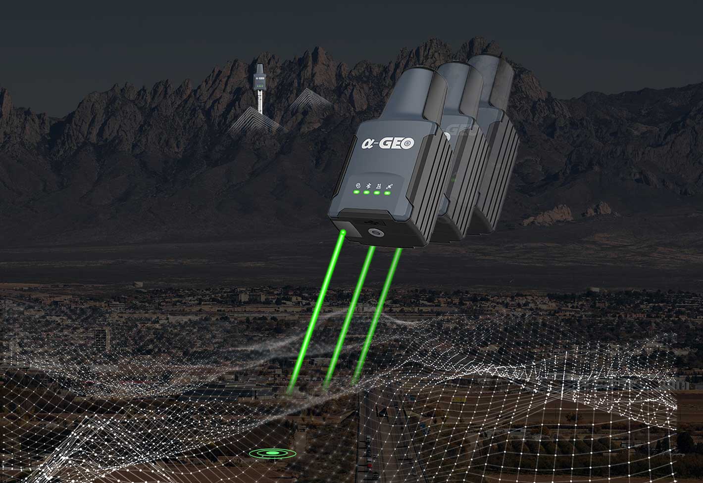
Laser Surveying
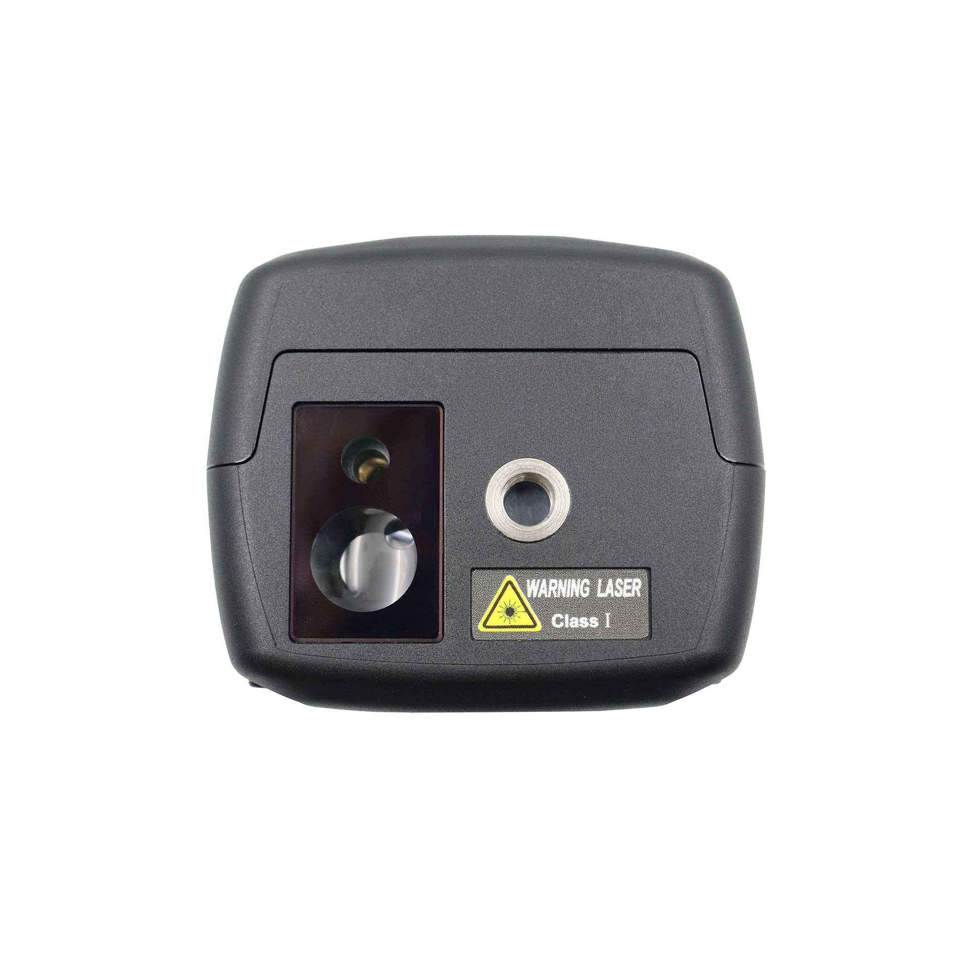
The world's exclusive patented laser coordinate measurement quick calibration technology can easily achieve centimeter-level measurement accuracy, making measurement more accurate and user-friendly. Besides the green laser module used in the equipment overcomes the difficulty of aiming under sunlight, making field measurement operations faster and more efficient.
 Military-level technology
 Multi constellation
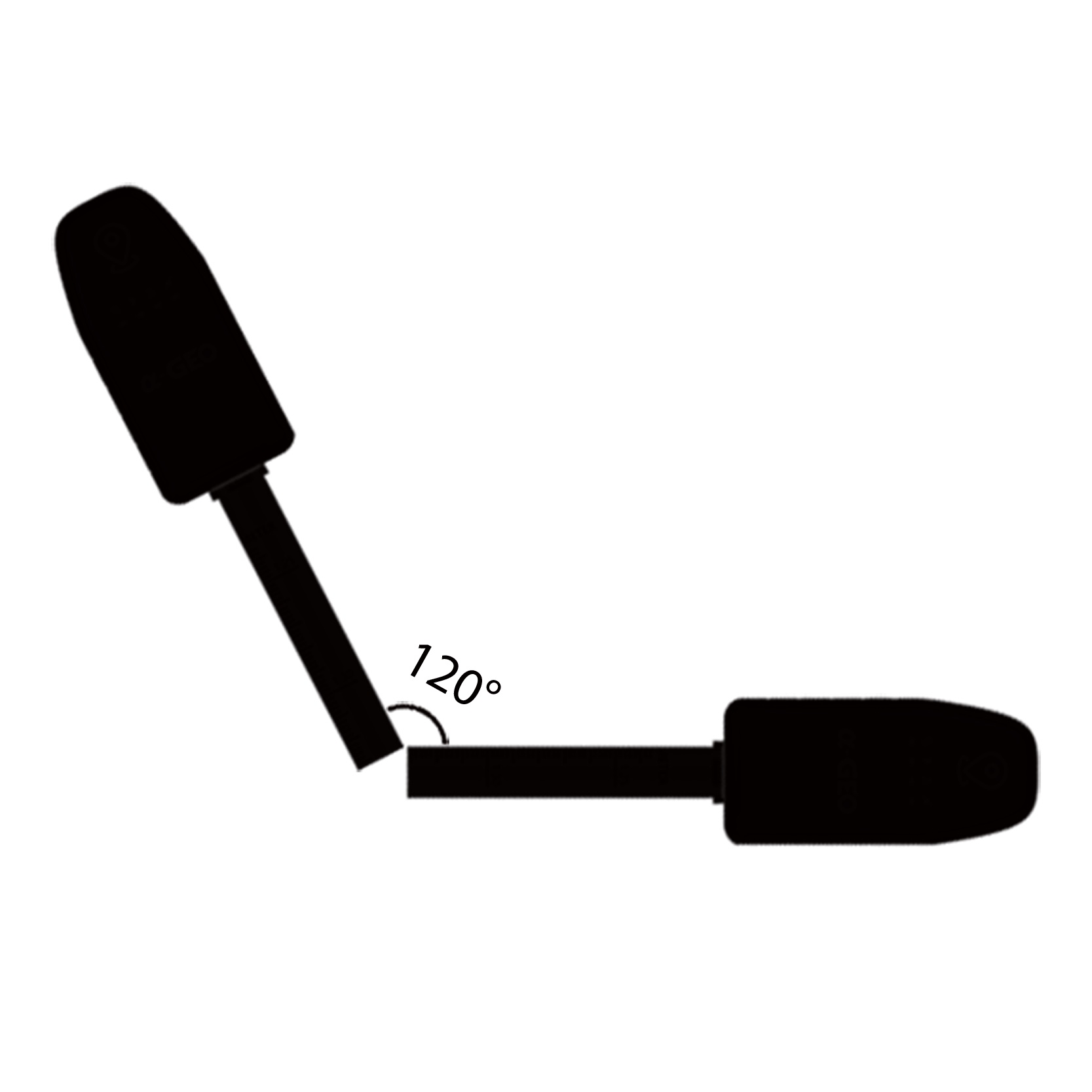 IMU Tilt Sensor
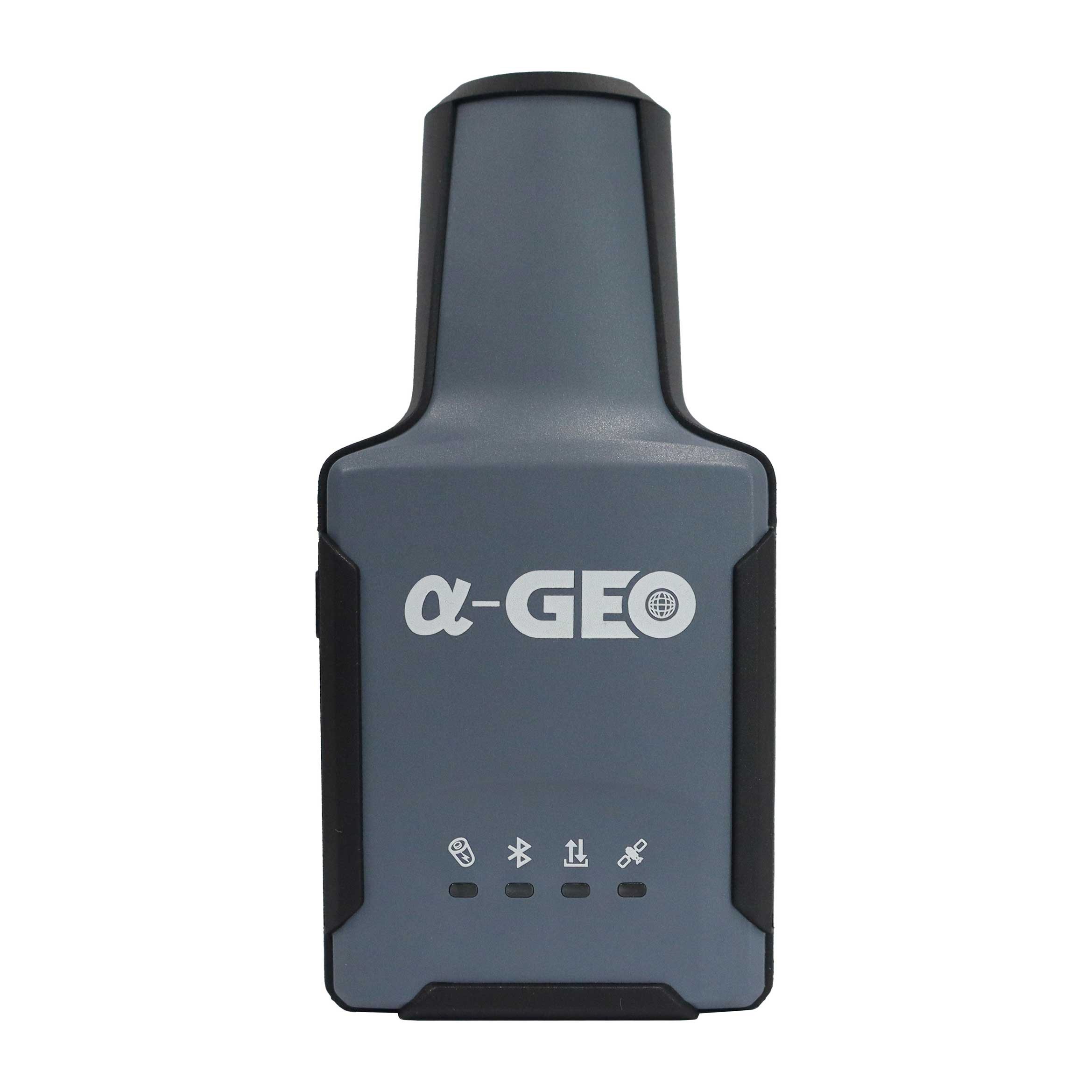
 Dual-mode Bluetooth
 GSM
GSM
 IP67
IP67
Specifications
| Performance specification | Satellite signals tracked simultaneously | GPS: L1 C/A, L2C, L2P, L5 |
| GLONASS: L1,L2 | ||
| BEIDOU: B1,B2,B3,B1C,B2a, B2b | ||
| GALILEO: E1/E5a/E5b/E6 | ||
| QZSS: L1/L2/L5/L6 | ||
| SBAS:WAAS,EGNOS, MSAS,GAGAN,SDCM | ||
| Channels | 1408 | |
| Cold start | <60 s | |
| Hot start | <15 s | |
| Positioning output rate | 1Hz-50Hz | |
| Signal Reacquisition | <1s | |
| RTK Initialization time | <5s | |
| Initialization Reliability | >99.99% | |
| Time accuracy | 20 ns | |
| Positioning1 | Static GNSS surveying | Horizontal:±(2.5mm + 0.5ppm) |
| Vertical:±(5mm + 0.5ppm) | ||
| RTK surveying | Horizontal:±(8mm+ 1.0ppm) | |
| Vertical:±(15mm+ 1.0ppm) | ||
| Laser surveying | ±1cm+5mm/m | |
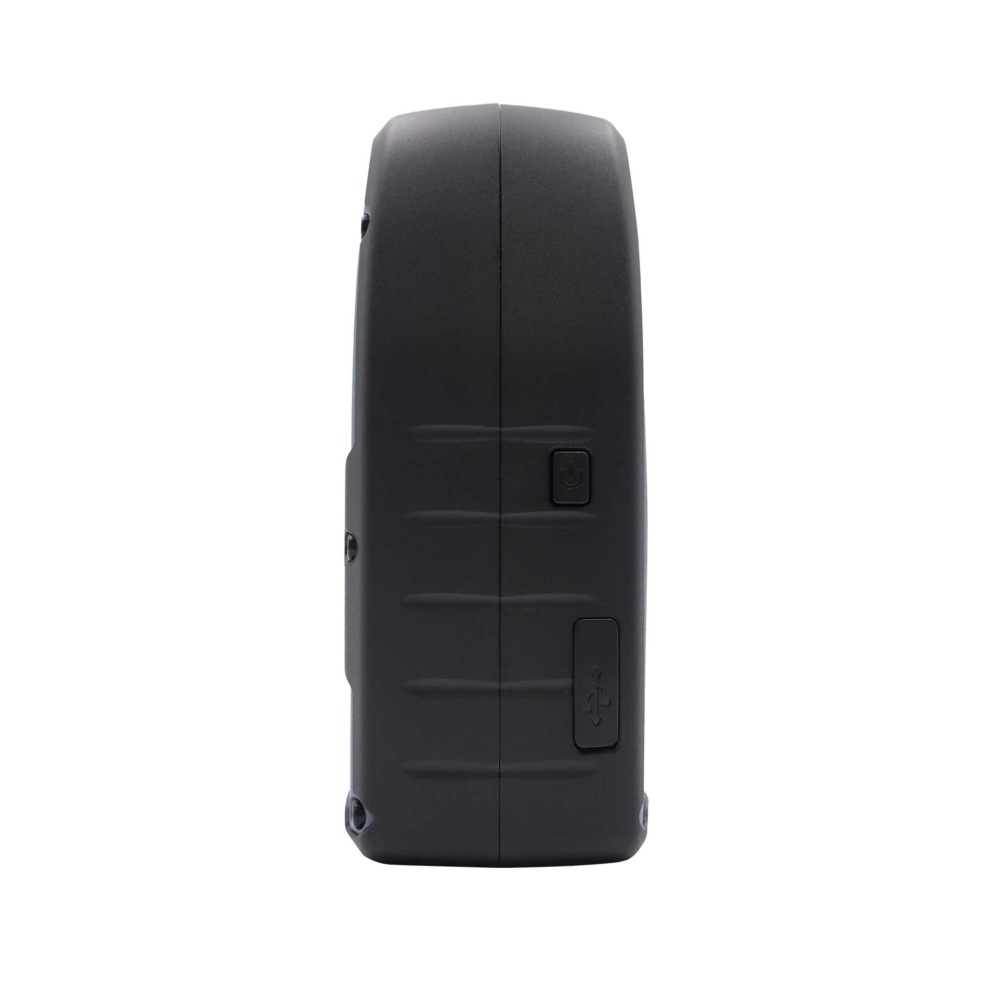
| Communication & Data Storage | I/O interface | USB TypeC |
| Cellular | Integrated full frequency multi band 4G modem, supports WCDMA/CDMA2000/TDD-LTE/FDD-LTE | |
| Bluetooth | Dual-mode Bluetooth | |
| Data format | Differential data: RTCM2.X、RTCM3.X |
|
| GPS output data format: NMEA 0183s RTK, Binary code |
||
| ELECTRYCAL | Power: 5V/2A | |
| Support USB Type-C fast charging | ||
| Internal 3350 mAh battery | ||
| Battery Life >12 h | ||
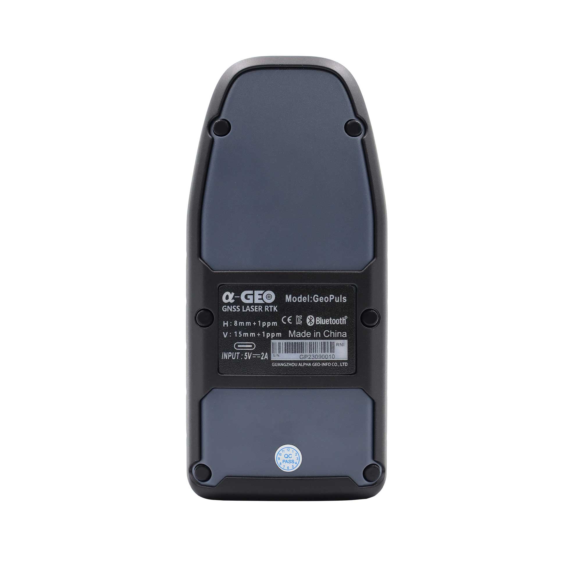
| PHYSYCAL | Material | Polymer Engineering Materials |
| Dimensions | 136.5x65x56(mm) | |
| Weight | 300g | |
| Key | Power button | |
| Indicator | Power indicator, data link indicator, satellite indicator, Bluetooth indicator | |
| Operating temperature | -20°C to + 75°C | |
| Storage temperature | -40°C to + 85°C | |
| Protection lP | IP67 dust proof, protected from 30min immersion to depth of 1m | |
| Shock | Survive 2 m drop onto the concrete | |
| Vibration | MIL-STD-810G | |
| Humidity | 100%,condensing | |
| IMU | IMU | Supported, 4D lMU initialization in 3 seconds |
| IMU update rate | 400HZ | |
| IMU accuracy | <2.5cm within120° | |
| IMU tilt compensation | 0-120° | |

Are you looking for a reliable and experienced partner to meet your needs? Join us
Contact Us


@2024 Guangzhou Alpha Geo-Info Co., Ltd. All Rights Reserved.
 Network Supported