
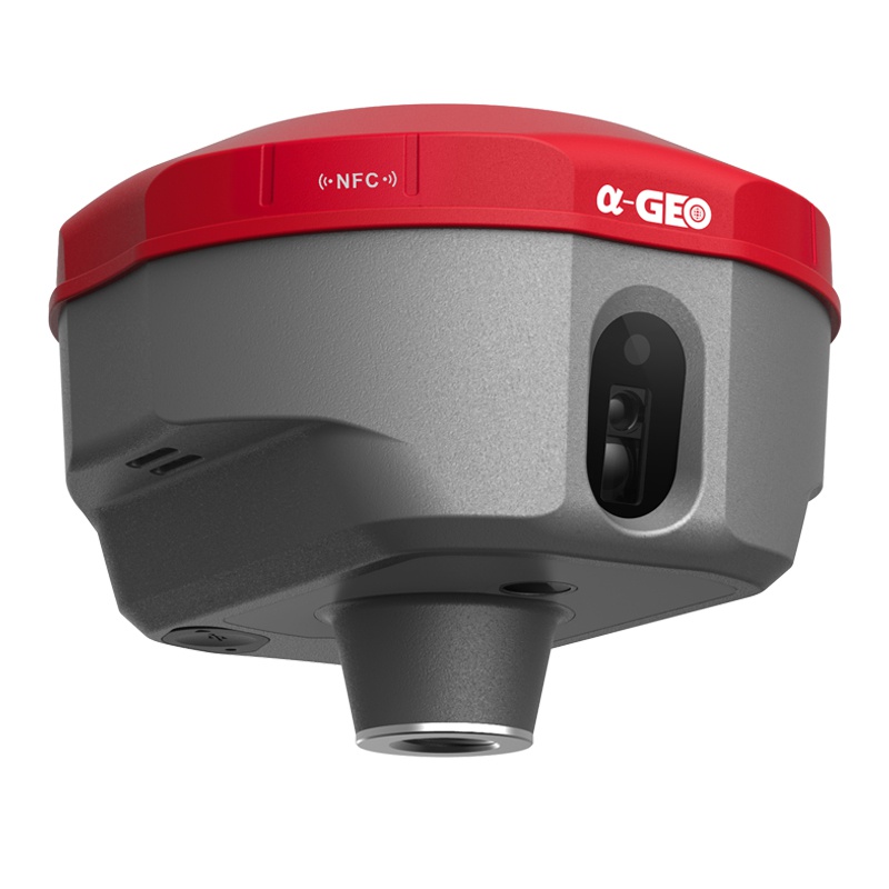
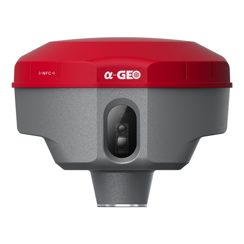


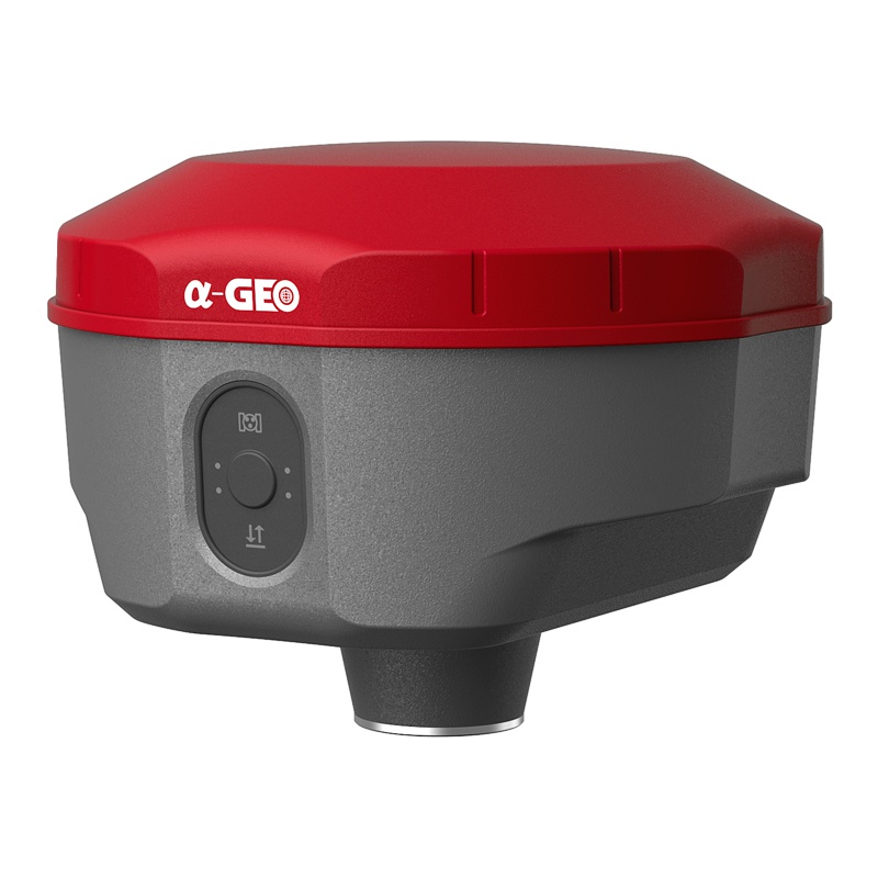

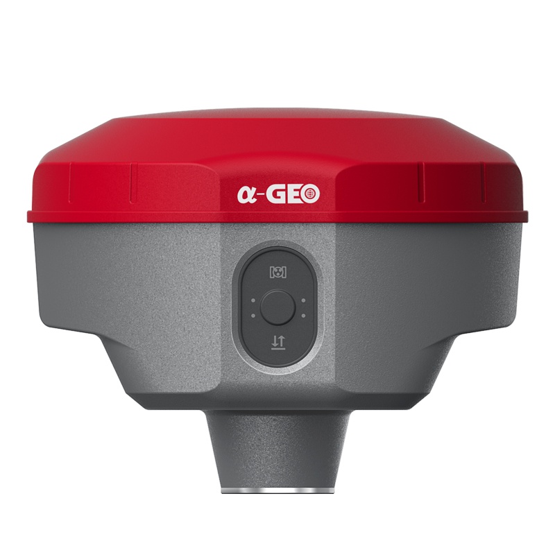
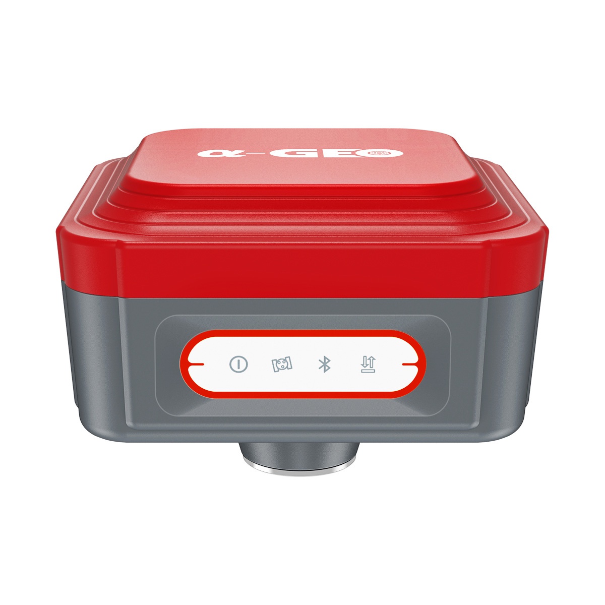
MATRIX II is a compact new generation of smart laser AR RTK designed for any surveying project using the latest GNSS technology. This receiver is equipped with all modern required connectivity modules: Bluetooth, Internal radio, WIFI & 4G modem.7000mAh Built-in battery, IMU tilt technology and WebUl are other latest technologies used in MATRIX II receiver.
AR
Right to the point with AR real scene stakeout
When the stakeout points are marked directly on the ground, surveyors can easily find the exact location of the stakeout points. By following the arrows on the real-life map, you can stake out points in one go, without having to move the pole back and forth, making the stakeout work more accurate and efficient.
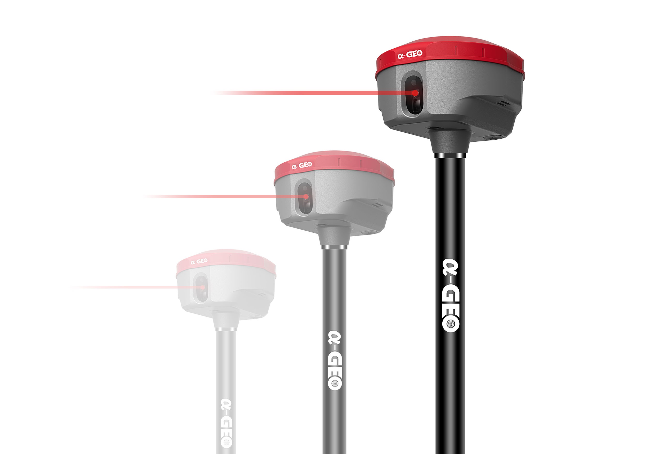
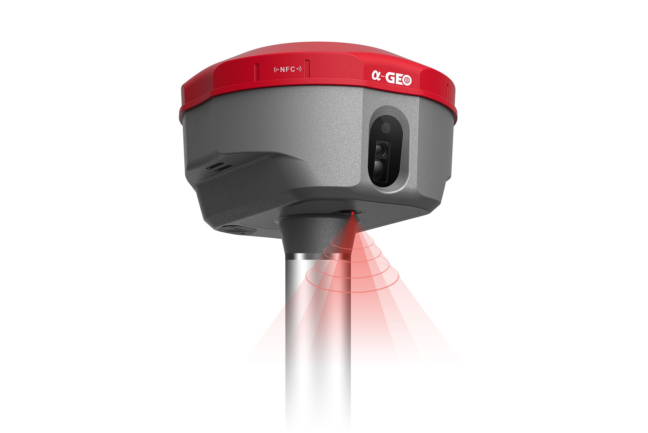
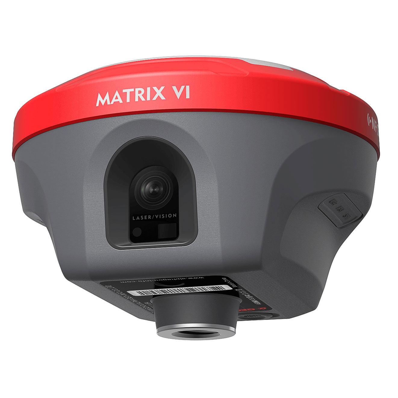
LASER
Laser survey opens a new mode of measurement
The world's exclusive patented laser coordinate measurement quick calibration technology can easily achieve centimeter level measurement accuracy, making measurement more accurate and user-friendly. Besides the camera used in the equipment overcomes the difficulty of aiming under sunlight, making field measurement operations faster and more efficient.
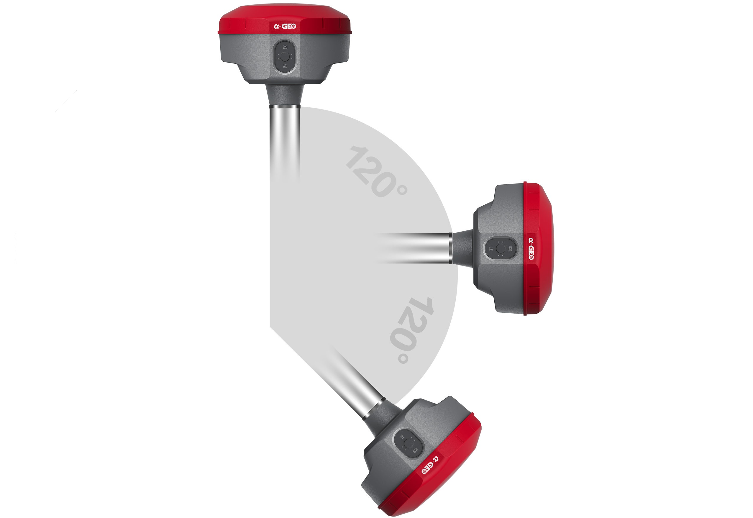
SUPER IMU
Super IMU, say goodbye to repeated initialization
Matrix II is equipped with a fast initialization, calibration free and immune to magnetic interference inertial Measurement Unit (IMU). All users can use this technology to collect or stakeout topo points up to 120°
MULTI CONSTELLATION
Matrix II with its 1408 channels new generation full GNSS chipset ability to support multiple satellite constellation including GPS, GLONASS, BEIDOU, GALILEO, OZSS, SBAS and IRNSS provides precise and accurate spatial data for all users around the world.
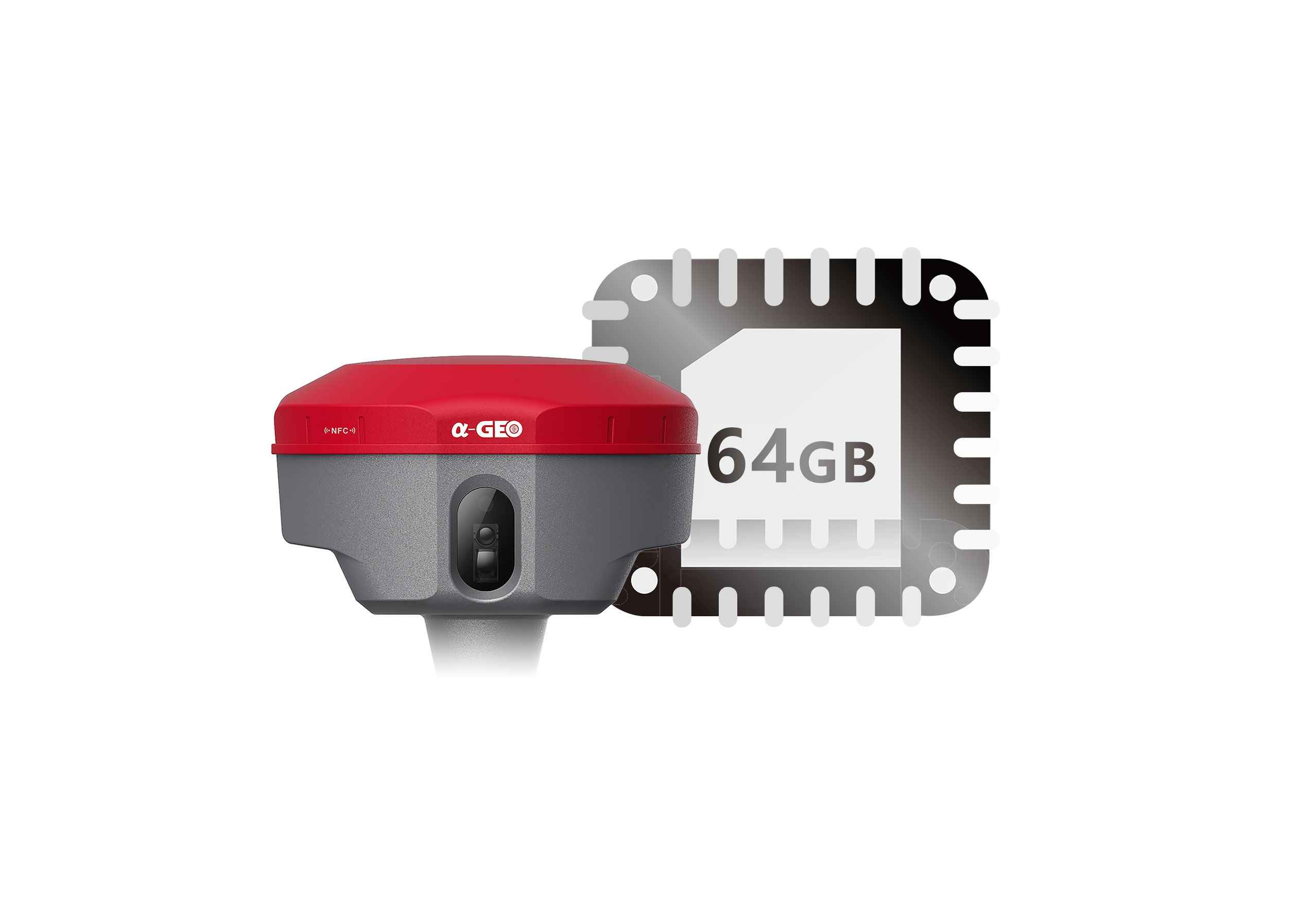
64GB SSD
worry-free storage
Built in 64GB memory, which can meet most needs of field work. And the feature of cyclic storage helps receiver to automatically removethe previous observation data while there is not enough space in the memory, with this excellent performance, data storage can last almost 4 years based on 5s sampling interval. And the design of embedded memory chip can ensure the safety of observation data.
Specifications
| GNSS performance | Satelite signals tracked simultaneously | GPS: L1C/A, L1C, L2P(Y), L2C, L5 |
| GLONASS: L1,L2,L3 | ||
| BEIDOU:B1l, B2l, B3l, B1C,B2a, B2b | ||
| GALILEO: E1,E5a, E5b,E6 | ||
| QZSS: L1,L2,L5,L6 | ||
| SBAS: L1,L5 | ||
| IRNSS: L5 | ||
| Channels | 1408 | |
| Cold start | <60 s | |
| Hot start | <15s | |
| Positioning output rate | 1Hz-20Hz | |
| Signal Reacquisition | <1s | |
| RTK initialization time | <10s | |
| Initialization Reliability | >99.99% | |
| Time accuracy | 20 ns | |
| Positioning accuracy* | Code diferential GNSS positioning | Horizontal: 0.25 m+ 1 ppm RMS |
| Vertical: 0.50 m+ 1 ppm RMS | ||
| TSBAS differential positioning | Typically < 5m 3DRMS | |
| Static GNSS surveying | Horizontal: 2.5 mm + 0.5 ppm RMS | |
| Vertical: 5 mm + 0.5 ppm RMS | ||
|
Real Time Kinematic Surveying (Single baseline < 30km) |
Horizontal: 8 mm + 1 ppm RMS | |
| Vertical: 15 mm + 1ppm RMS | ||
| Network RTK* | Horizontal: 8 mm + 0.5 ppm RMS | |
| Vertical: 15 mm + 0.5 ppm RMS | ||
| Laser survey | ±1cm + 5mm/m ( Tilt height less than 30 ° ) | |
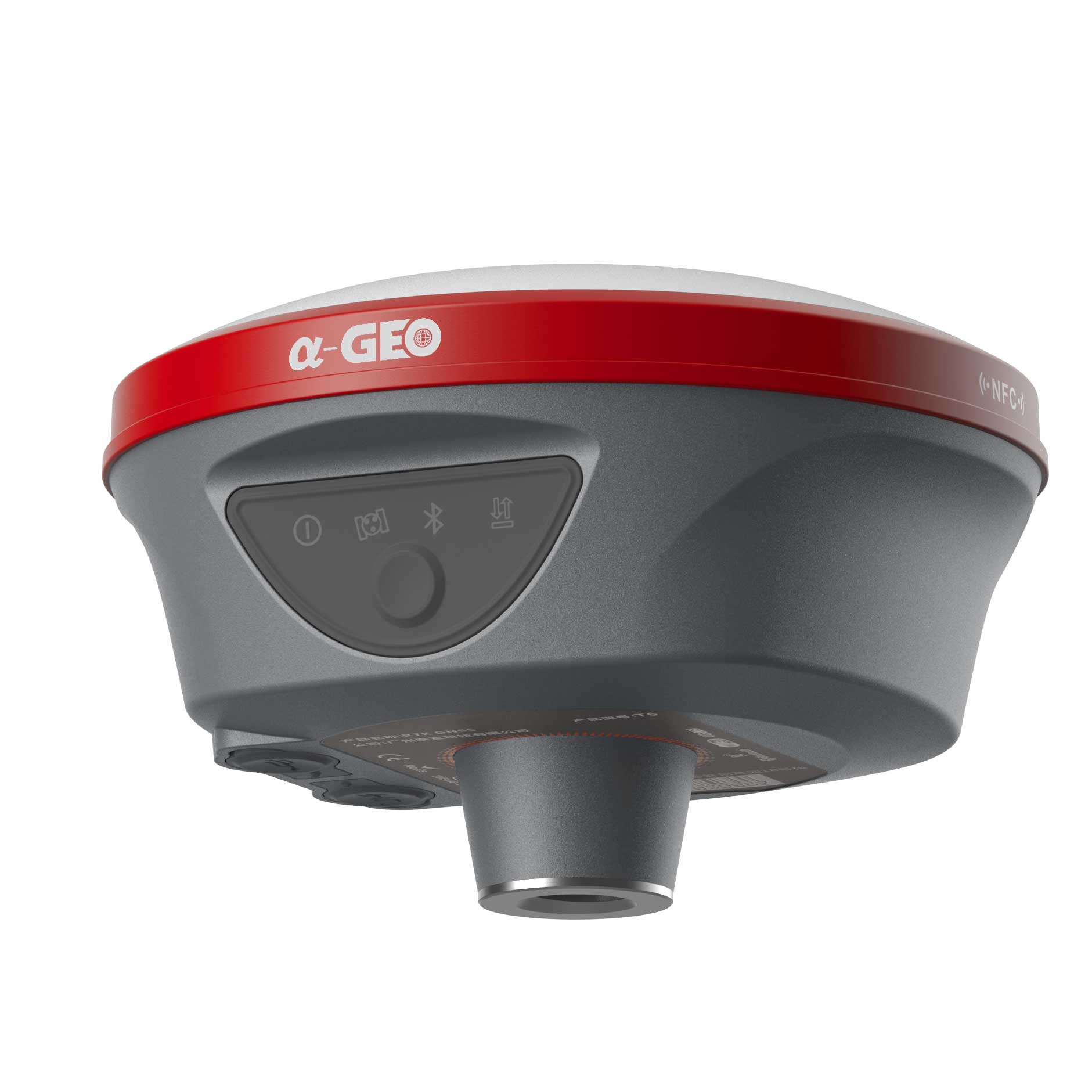
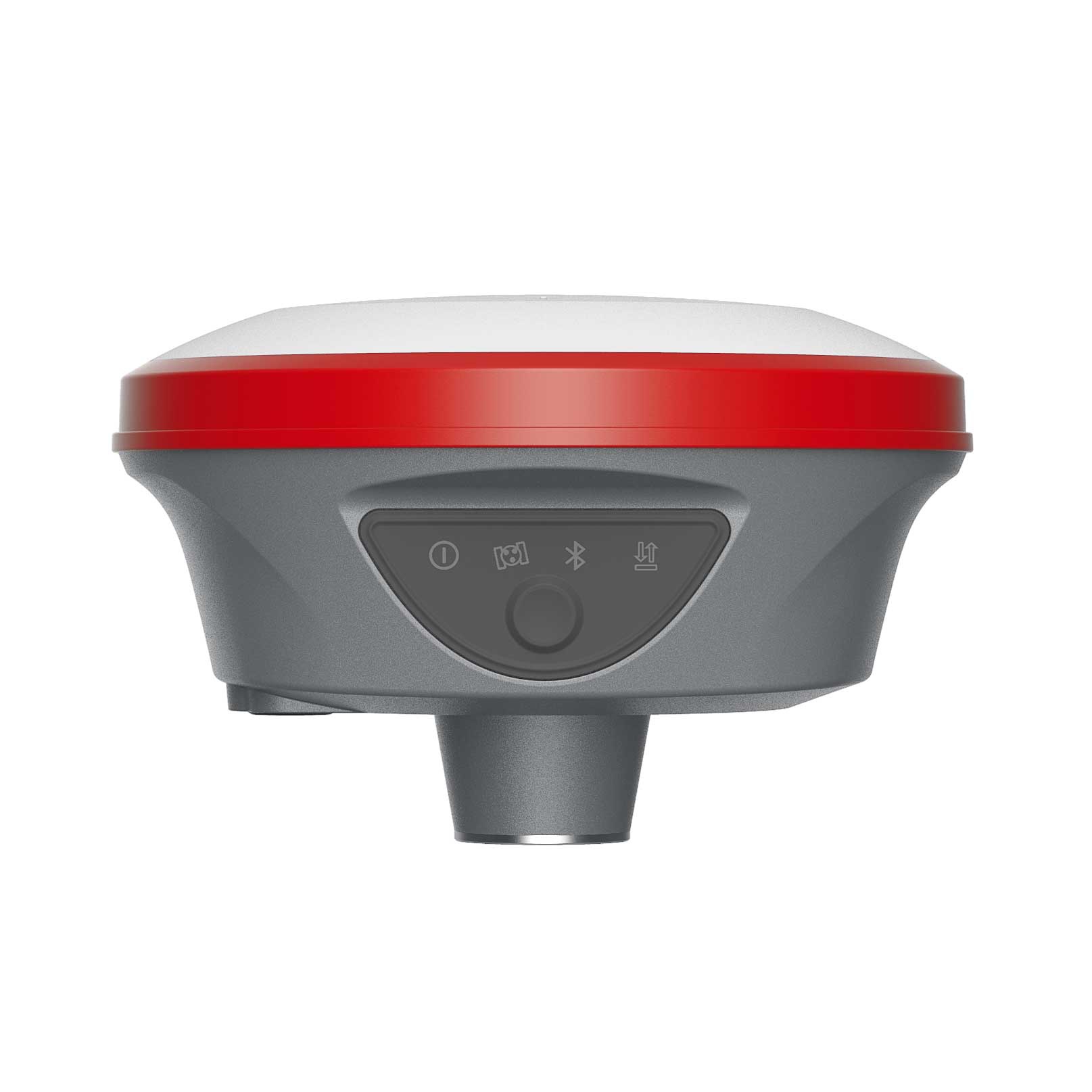
| Physycal | Material | Magnesium alloy |
| Dimensions | 120mm*72mm(without bottom connector 20mm) | |
| Weight | 0.76kg | |
| Operating temperature | -40°C to + 75°C | |
| Storage temperature | -55°C to+ 85°C | |
| Protection lP | IP67 dust proof, protected from 30 min immersion to depth of 1m | |
| Shock | Survive a 2m pole drop onto concrete | |
| Vibration | MIL-STD-810G | |
| Humidity | 100%, condensing | |
| Electrycal | Power: 9~24VDC external power input on 5 pin LEMO port | |
| Support USB Type-C fast charging | ||
| Internal 7000mAh-7.4V lithium-ion battery | ||
| Battery Life | Rover Mode: 12 hours | |
| Base Mode: 7 hours | ||
| Static Mode: 15 hours | ||
| Communication & Data Storage | LEMO port (5pin) | Supports power input, serial port control, and external radio communication |
| USB Type-C port | Data download /charging | |
| Data download /charging | Supports Nano-SlM | |
| Antenna port | UHF antenna interface | |
| Radio modem | Transmit power: 1/1.5w switchable | |
| Frequency band: 410MHz-470MHz; supports to set the frequency | ||
| Protocols: TrimTalk450s, SOUTH, Satel,PCC-EOT | ||
| Cellular | Integrated full frequency multi band 4G modem,supports WCDMA/CDMA2000/TDD-LTE/FDD-LTE | |
| WIFI | 802.11 b/g standard, access point & client mode, supports access to hotspot for correction transmission | |
| Bluetooth | Bluetooth 5.2 Classical/BLE Proprietary double-mode | |
| Data format | RTCM2x, RTCM3x, CMR&CMR+, sCMRx, RINEX, NMEA outputs | |
| Storage | 64GB internal memory, supports cyclic storage; with ability to collect over one year raw observation based on 5 seconds interval | |
| Camera | AR: 5M high-definition camera with large viewing angle and support for live scene lofting | |
|
Laser assisted: 5M high-definition camera, large viewing angle, auxiliary laser measurement and aiming |
||
| Others | System integration | Os system: Intelligent LINUX operating system |
| Tilt Compensation: IMU up to 120°(Calibration free) | ||
| Supported controllers:All android devices with supported software | ||
| Design | button: Power key | |
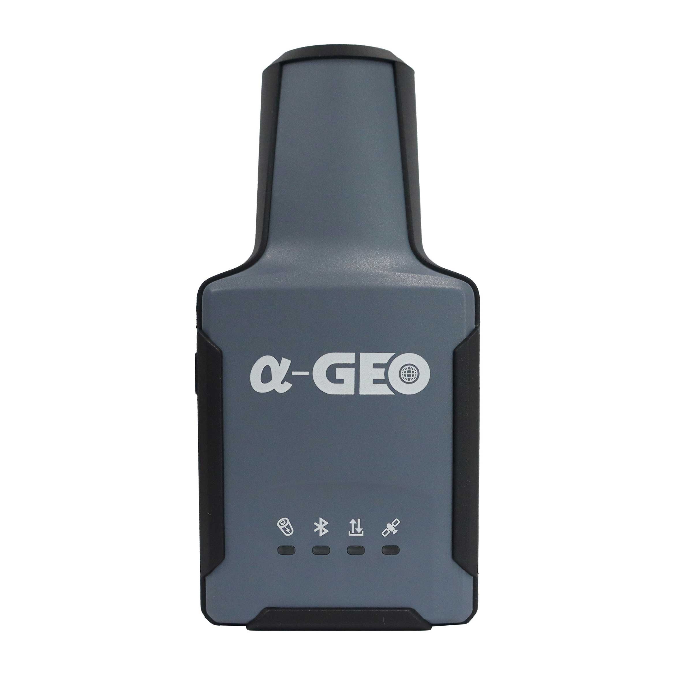
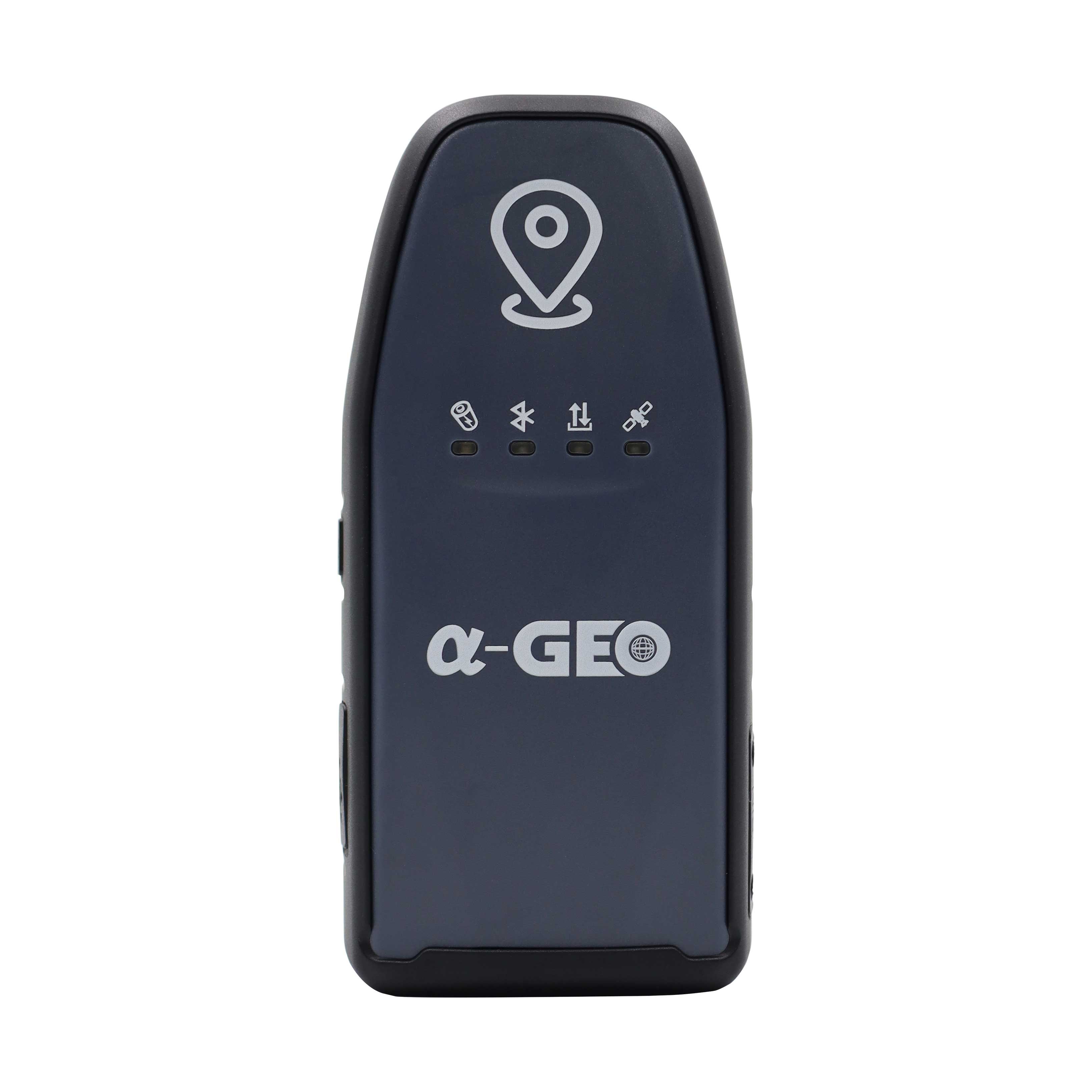
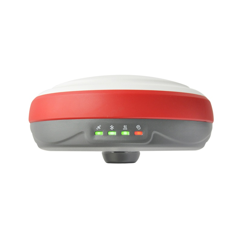
| Indicator: Power indicator, data link indicator, satellite indicator, Bluetooth indicator | ||
| Voice: Intelligent voice prompts | ||
| WEBUI: Support WEBUl confguration | ||

Are you looking for a reliable and experienced partner to meet your needs? Join us
Contact Us


@2024 Guangzhou Alpha Geo-Info Co., Ltd. All Rights Reserved.
 Network Supported